
Late May bank holiday in the UK. The weather should have been spring-like, edging towards early summer. Not in Scotland!
The plan was to climb Ben Nevis via the CMD Arête, a classic Grade 1 scramble along an exposed and airy ridge. But the fickle weather gods had other ideas.
It was pretty obvious upon arriving at the campsite in Glen Nevis that the weather in Scotland was months behind that in southern England. The summits of several Munros were still covered in the white stuff. A different plan would have to be formulated.
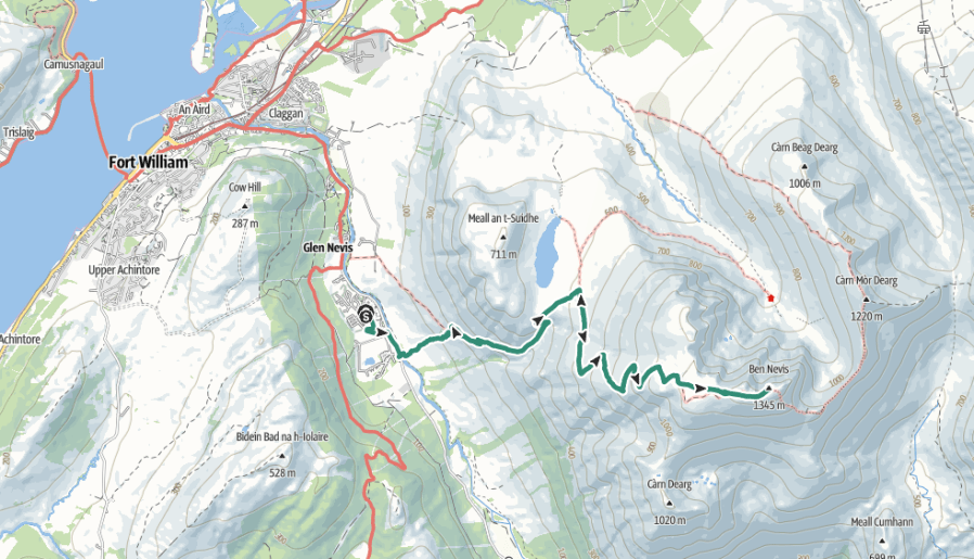
With the CMD still firmly in winter conditions (and no winter climbing gear packed), another ascent would have to do. The obvious, though far less inspiring, choice was the normal route: the Mountain Track (also known as the Tourist Track or Pony Track). It is a 10.5-mile (17 km) round trip with 1,352 metres of ascent, starting from the Ben Nevis Visitor Centre near Fort William.
The walk usually takes between seven and nine hours, but we were hoping to beat that.
We opted to start from the Glen Nevis Campsite, bypassing the Visitor Centre and instead tackling the steep opening section of the main Ben Nevis path—locally nicknamed “Heart Attack Hill”. From there, we’d climb the stone zigzags on the flank of Meall an t-Suidhe, eventually reaching the scenic resting spot at Halfway Lochan. Beyond the lochan, we’d cross the Red Burn, ascend the steep, rocky zigzags onto the upper stony plateau, and make the final push across broken rock to the summit cairn and the old observatory ruins.
Heart Attack Hill nearly lived up to its name! Thankfully, the gradient soon eased, although the walking became rather monotonous.
At the lochan, the weather changed in an instant. Lashing rain and strong winds swept in, and waterproofs were hastily donned.
We paused briefly at the first patch of snow we encountered just beyond, our only real stop on the entire ascent.
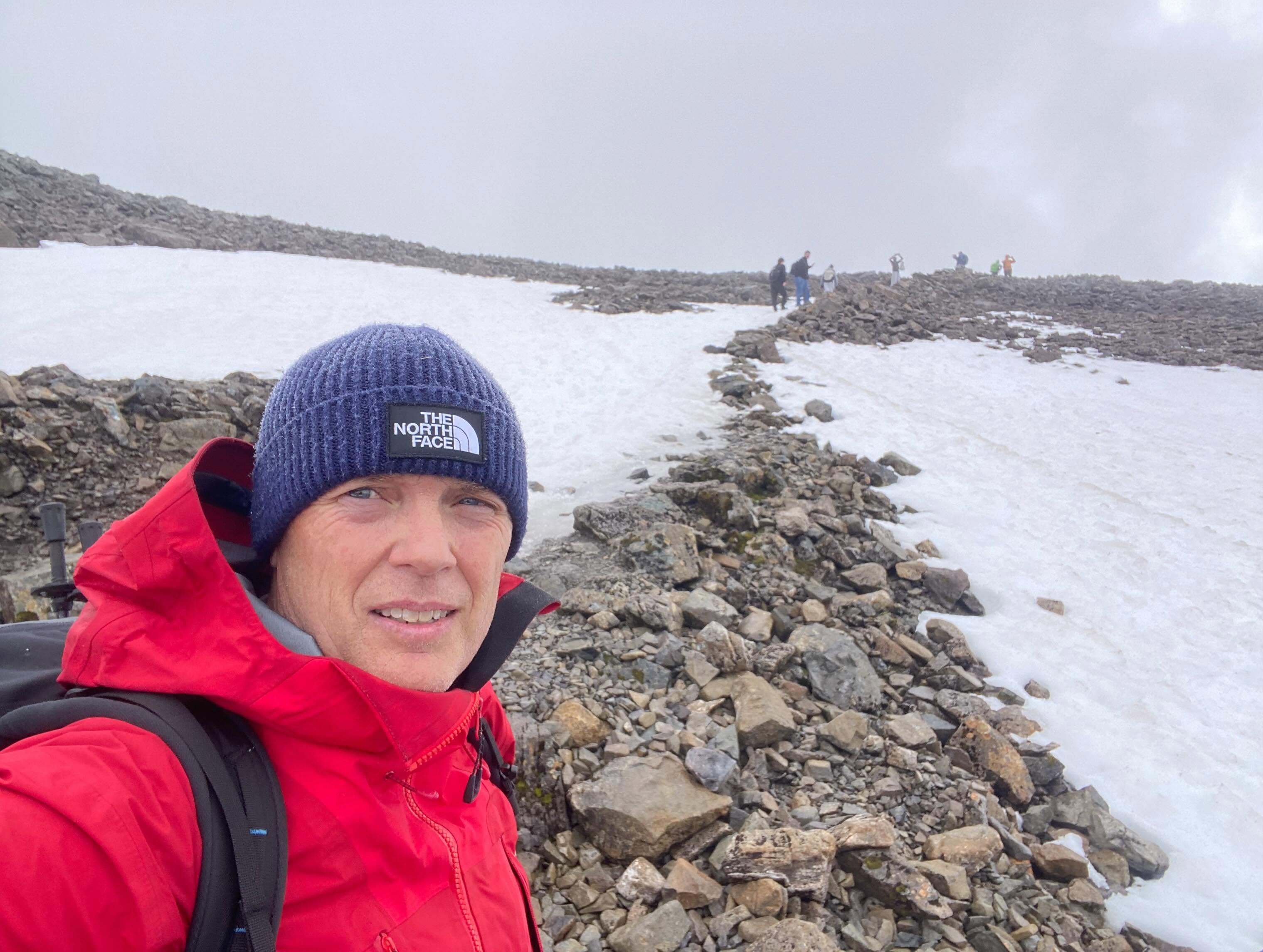
From the zigzags onwards, the character of the climb changed completely as deep snow covered large sections of the mountain.
The weather continued to deteriorate, fatigue began to creep in, and I found myself wishing I’d packed my microspikes.
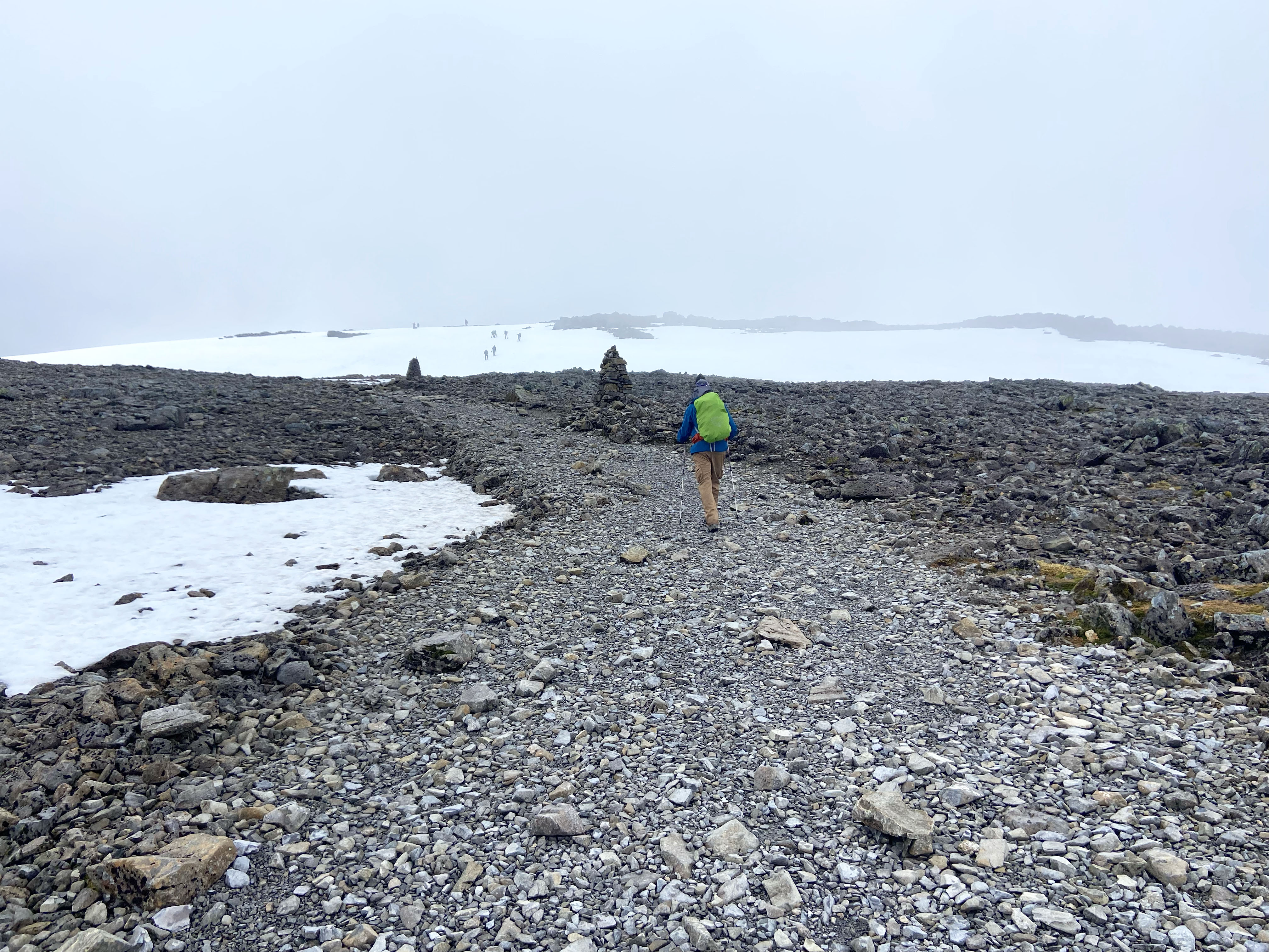
The final pull onto the summit plateau was a mixture of frozen footholes, slippery ice patches and bare rock.
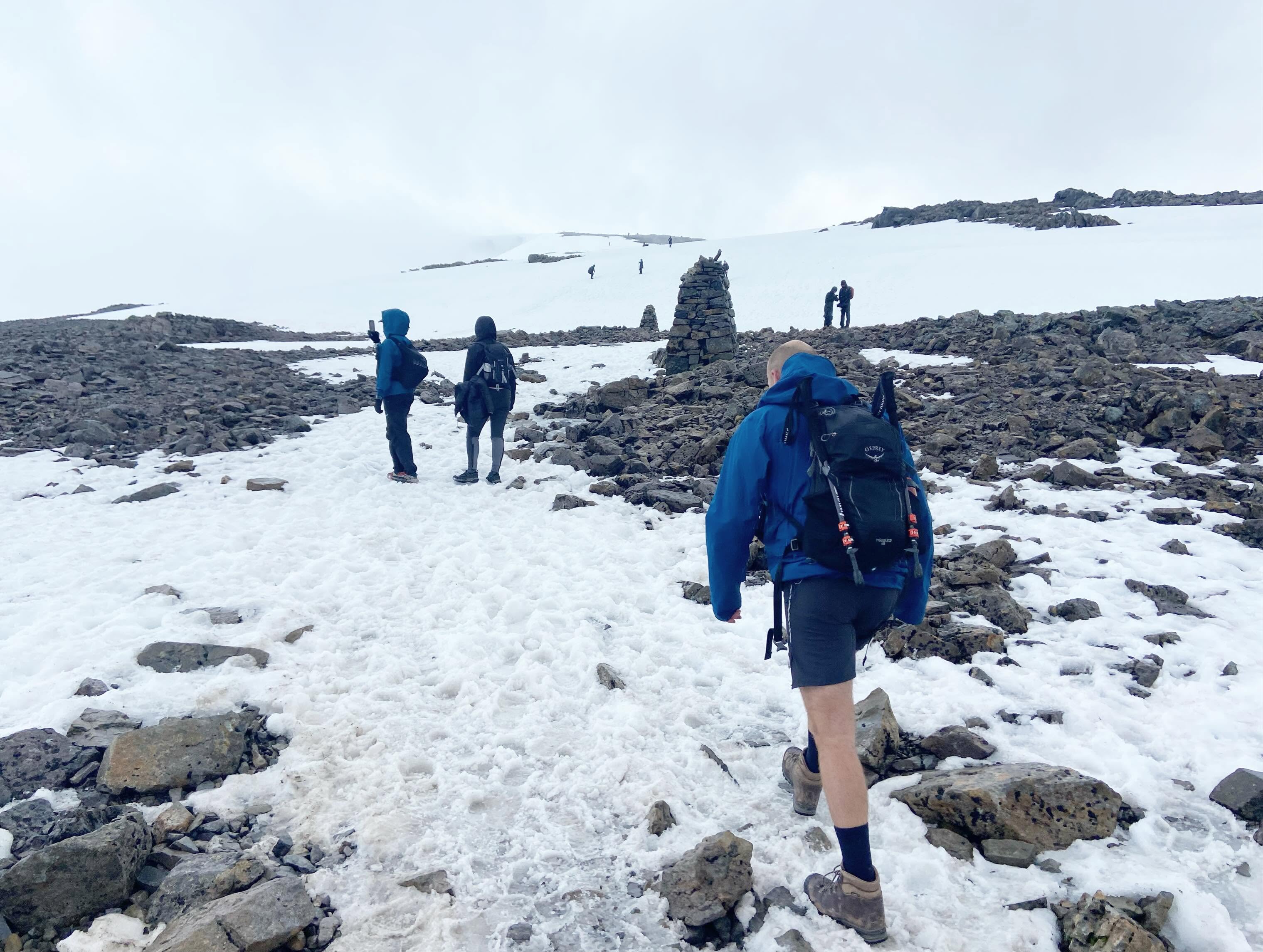
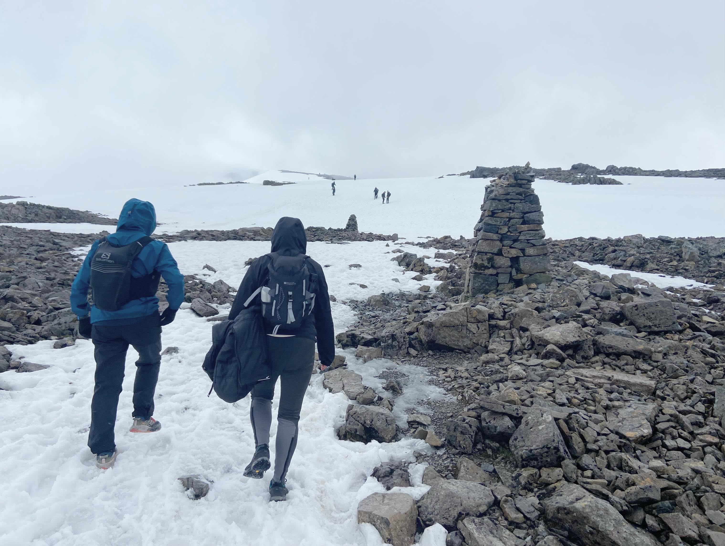
Compass bearings are primarily used to navigate safely off the summit of Ben Nevis rather than to find it, as the final approach via the Mountain Track is normally marked by cairns. Unfortunately, the cairns appeared and disappeared in the clag, so we cautiously followed the people ahead, hoping they weren’t making any catastrophic navigational mistakes.
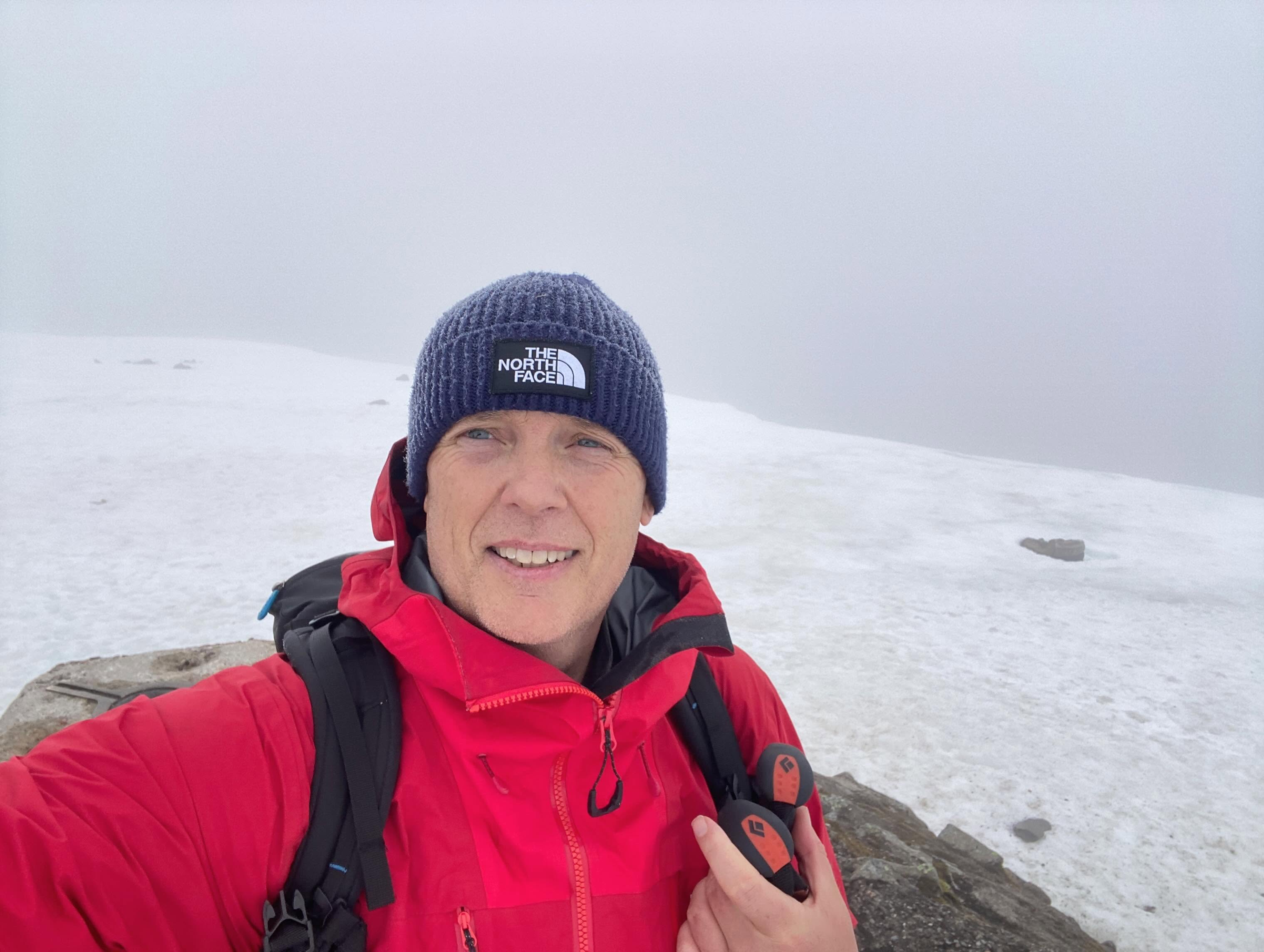

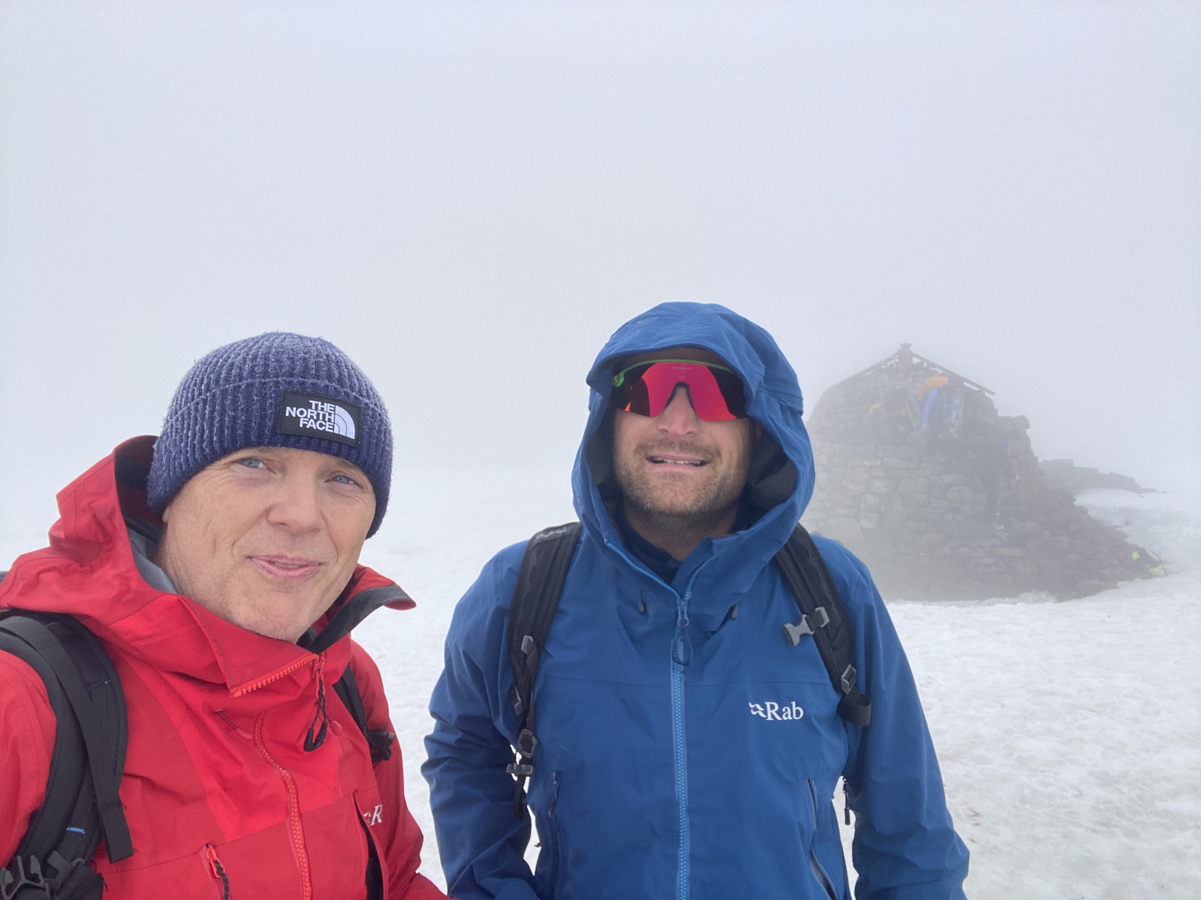
We reached the summit in an almost complete whiteout. It was bitterly cold, so we didn’t linger. There were no views to admire anyway.
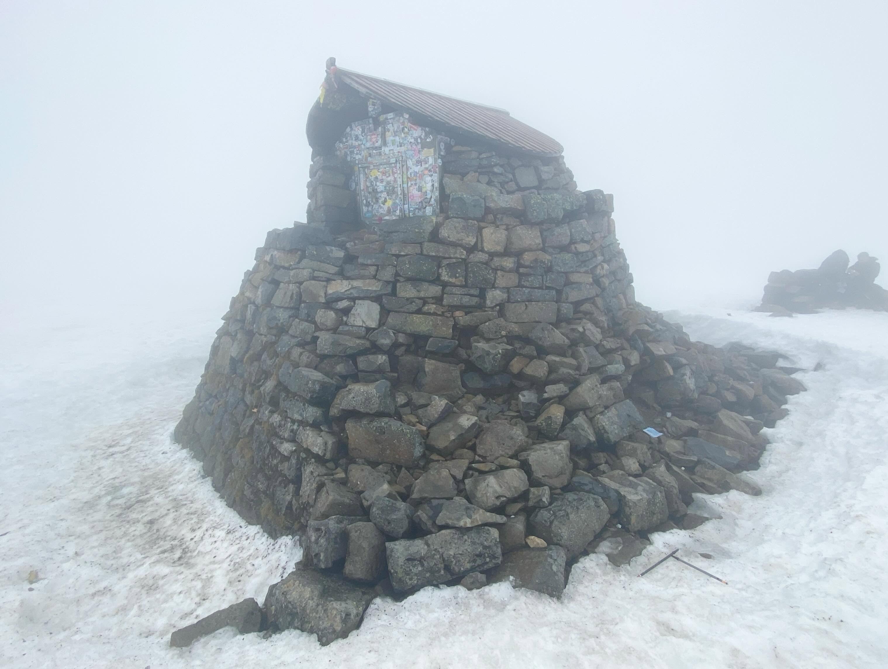
For the descent, I took a grid bearing of 231° for 150 metres from the summit cairn (or emergency shelter). This safely led us away from the summit and prevented us from accidentally straying over the steep drops into Gardyloo Gully on the mountain’s north side.
After pacing out the 150 metres, I switched to a grid bearing of 282°. Following this line, we threaded our way safely between the North Face cliffs and Five Finger Gully before picking up the top of the Mountain Track’s zigzags at the 1,200-metre contour.
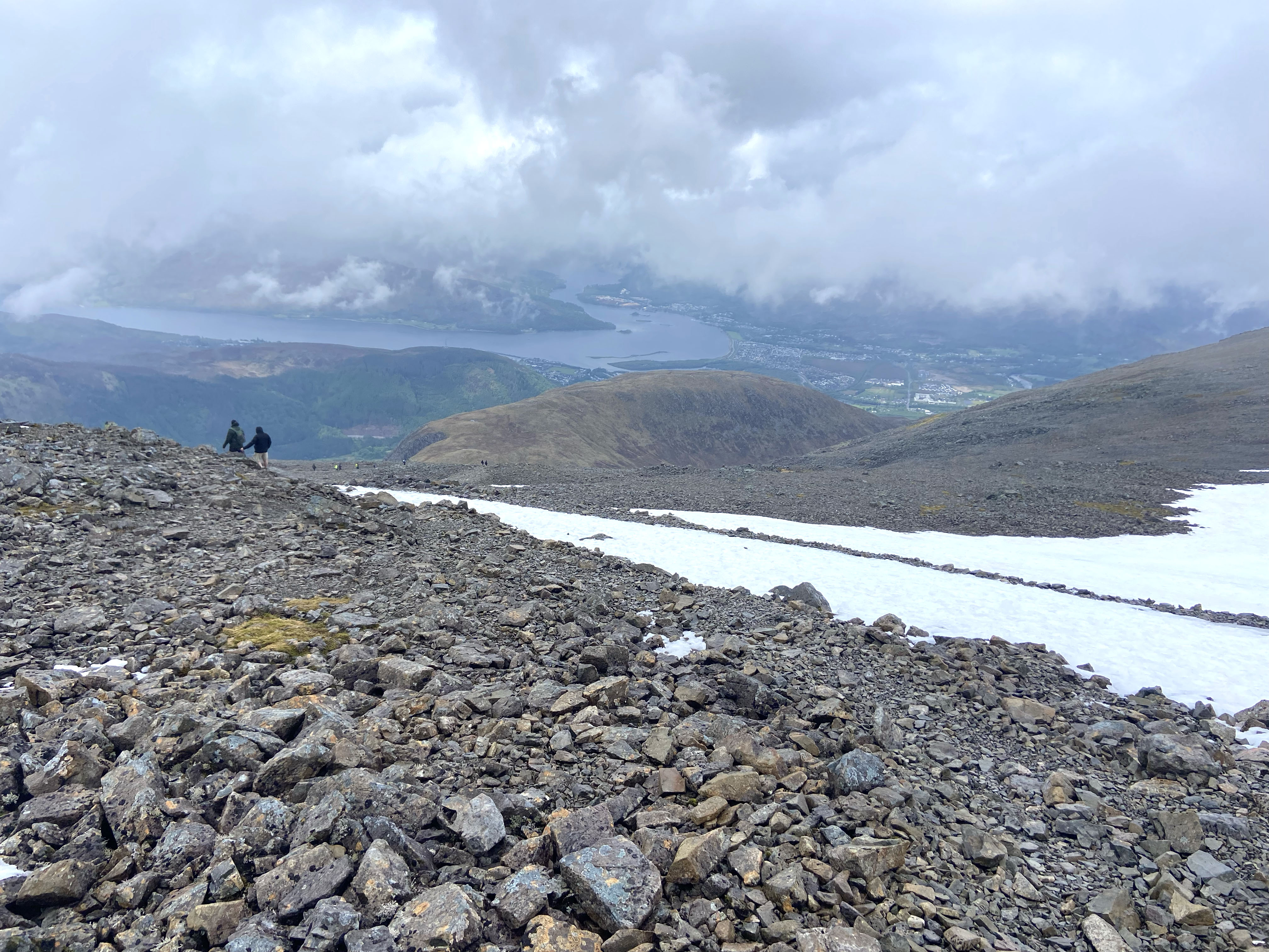
A few glissades down the snow and ice patches, and we were soon making rapid progress back down the mountain.
Before long, the glen came back into view. We crossed the over-engineered bridge to the youth hostel on the opposite bank and ordered a couple of well-earned pints.
It wasn’t the glorious, exposed ridge scramble we’d travelled north for, but the lingering snow, challenging conditions and wild Highland weather still combined to make it a memorable day in the mountains.

