Ben Nevis – The CMD That Never Was

Late May bank holiday in the UK. The weather should have been spring-like, edging towards early summer. Not in Scotland!

The plan was to climb Ben Nevis via the CMD Arête, a classic Grade 1 scramble along an exposed and airy ridge. But the fickle weather gods had other ideas.

It was pretty obvious upon arriving at the campsite in Glen Nevis that the weather in Scotland was months behind that in southern England. The summits of several Munros were still covered in the white stuff. A different plan would have to be formulated.

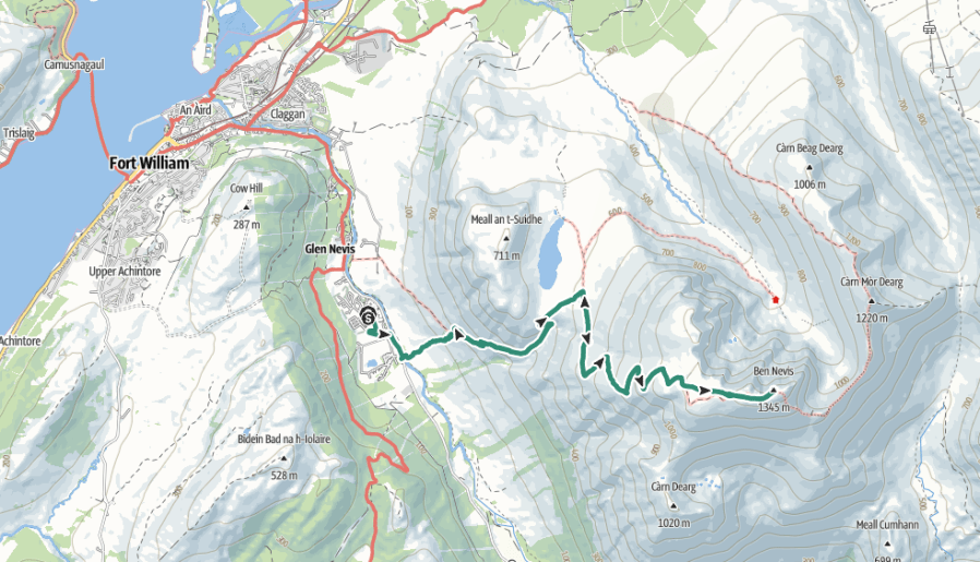
With the CMD still firmly in winter conditions (and no winter climbing gear packed), another ascent would have to do. The obvious, though far less inspiring, choice was the normal route: the Mountain Track (also known as the Tourist Track or Pony Track). It is a 10.5-mile (17 km) round trip with 1,352 metres of ascent, starting from the Ben Nevis Visitor Centre near Fort William.

The walk usually takes between seven and nine hours, but we were hoping to beat that.

We opted to start from the Glen Nevis Campsite, bypassing the Visitor Centre and instead tackling the steep opening section of the main Ben Nevis path—locally nicknamed “Heart Attack Hill”. From there, we’d climb the stone zigzags on the flank of Meall an t-Suidhe, eventually reaching the scenic resting spot at Halfway Lochan. Beyond the lochan, we’d cross the Red Burn, ascend the steep, rocky zigzags onto the upper stony plateau, and make the final push across broken rock to the summit cairn and the old observatory ruins.

Heart Attack Hill nearly lived up to its name! Thankfully, the gradient soon eased, although the walking became rather monotonous.
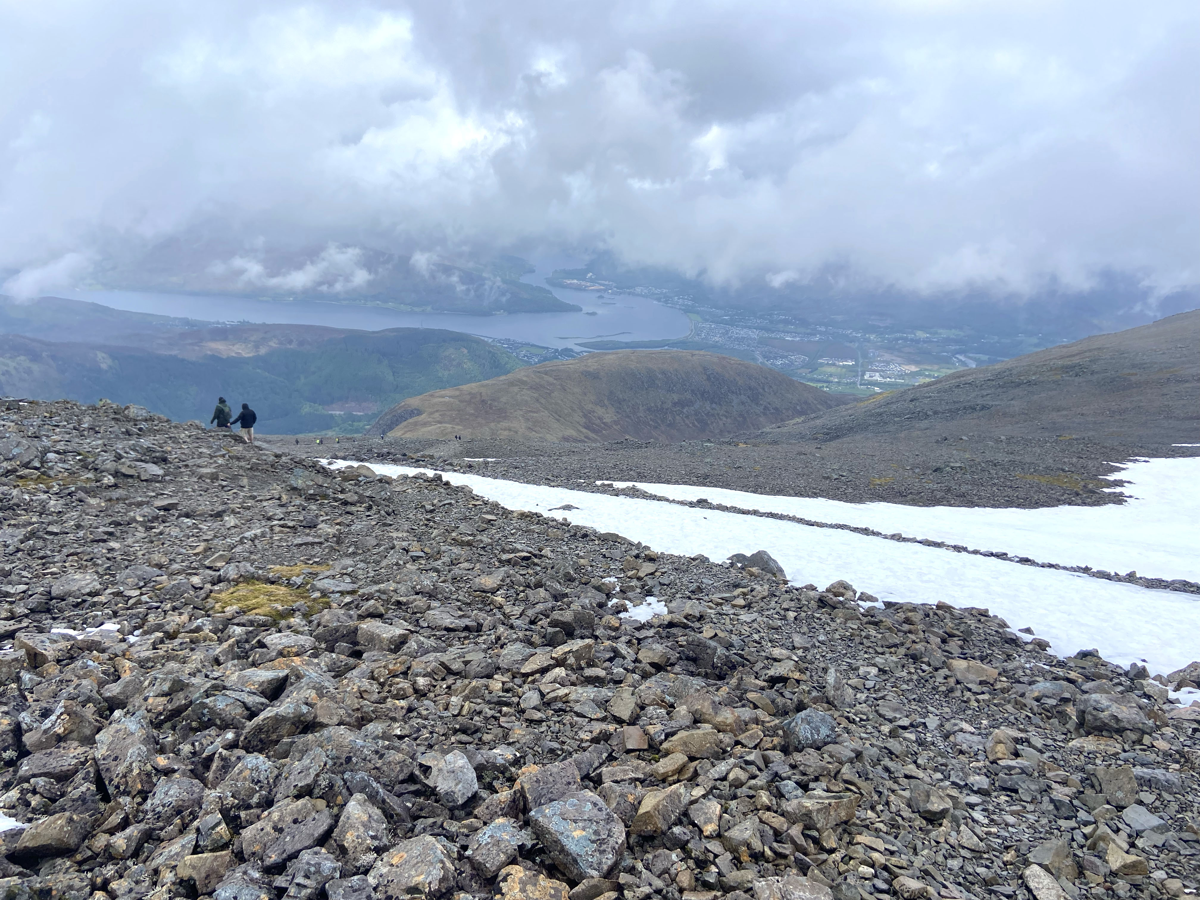
At the lochan, the weather changed in an instant. Lashing rain and strong winds swept in, and waterproofs were hastily donned.

We paused briefly at the first patch of snow we encountered just beyond, our only real stop on the entire ascent.
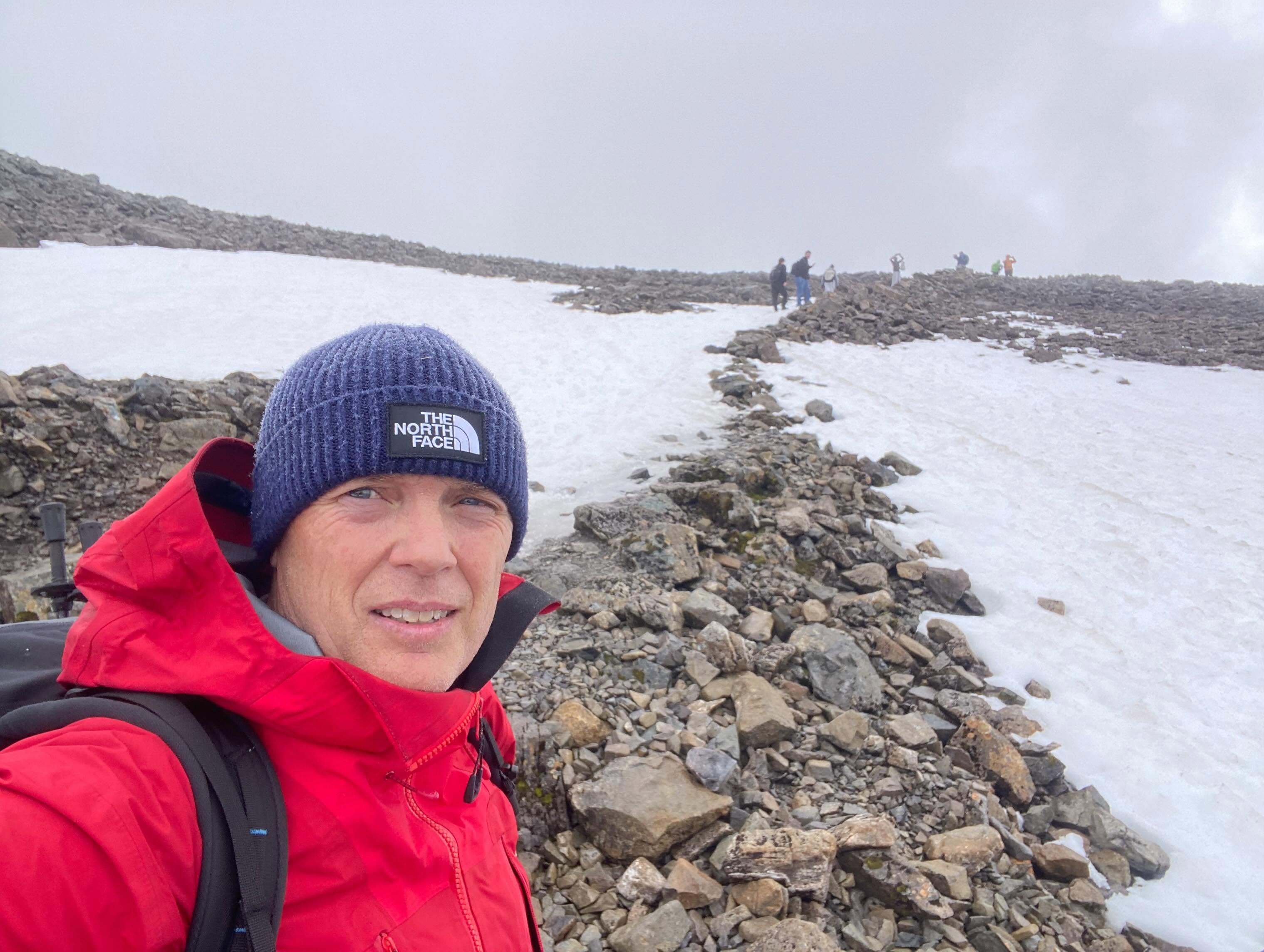
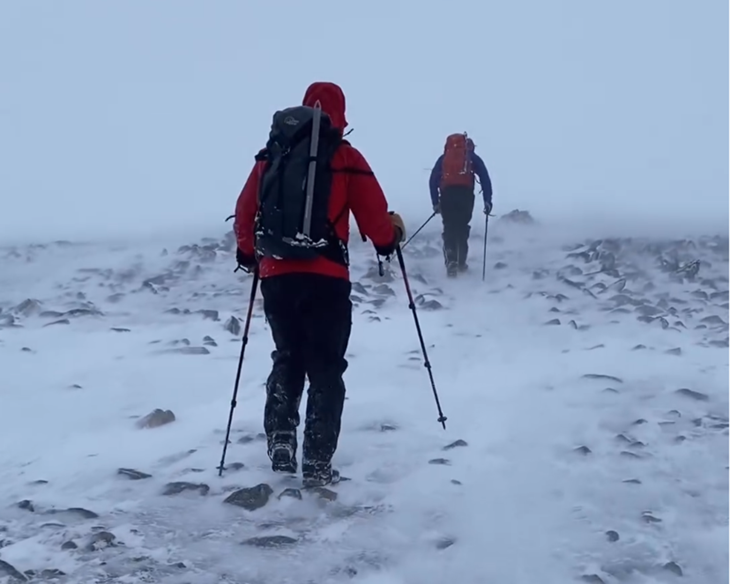
From the zigzags onwards, the character of the climb changed completely as deep snow covered large sections of the mountain.

The weather continued to deteriorate, fatigue began to creep in, and I found myself wishing I’d packed my microspikes.
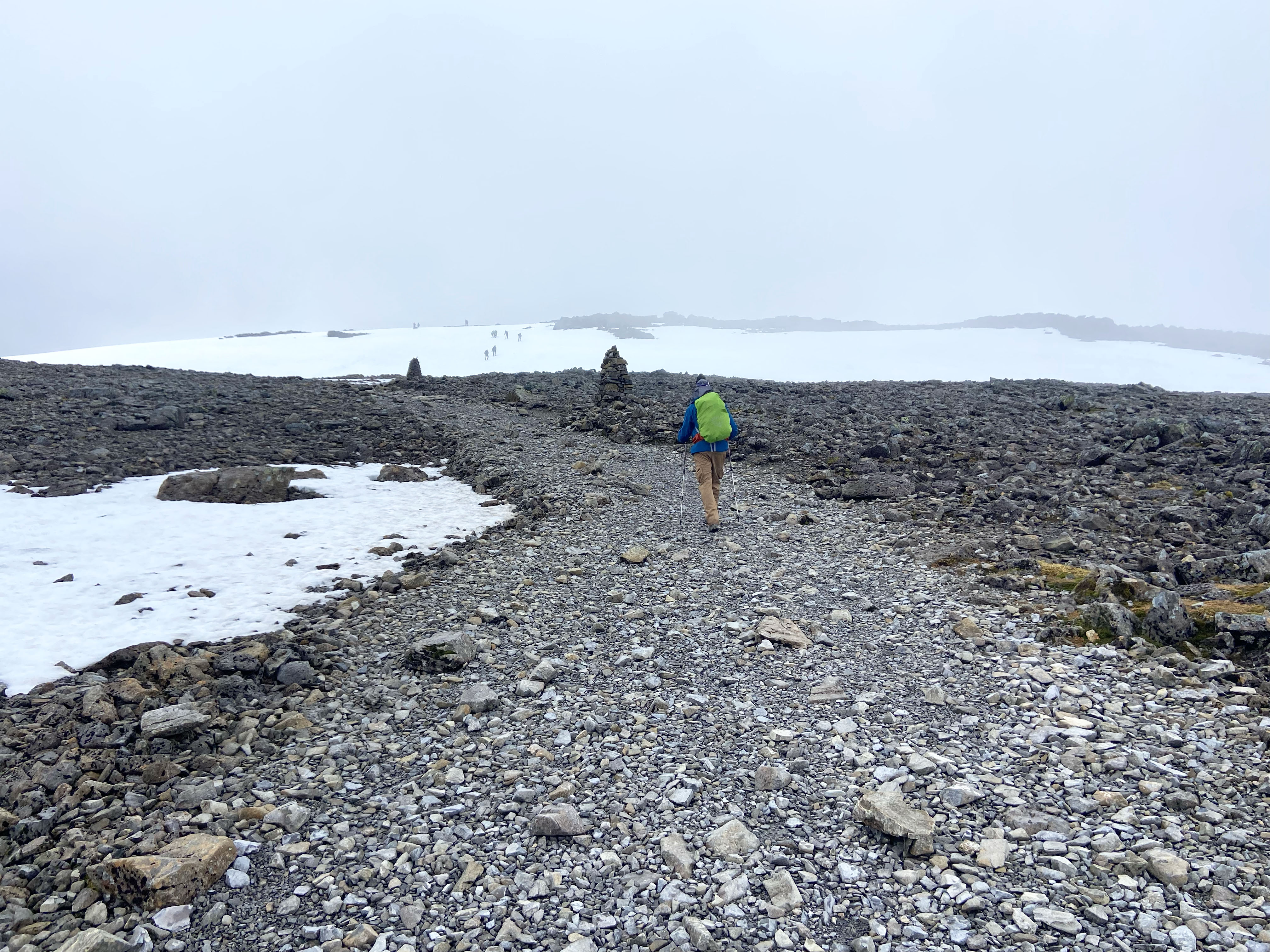
The final pull onto the summit plateau was a mixture of frozen footholes, slippery ice patches and bare rock.
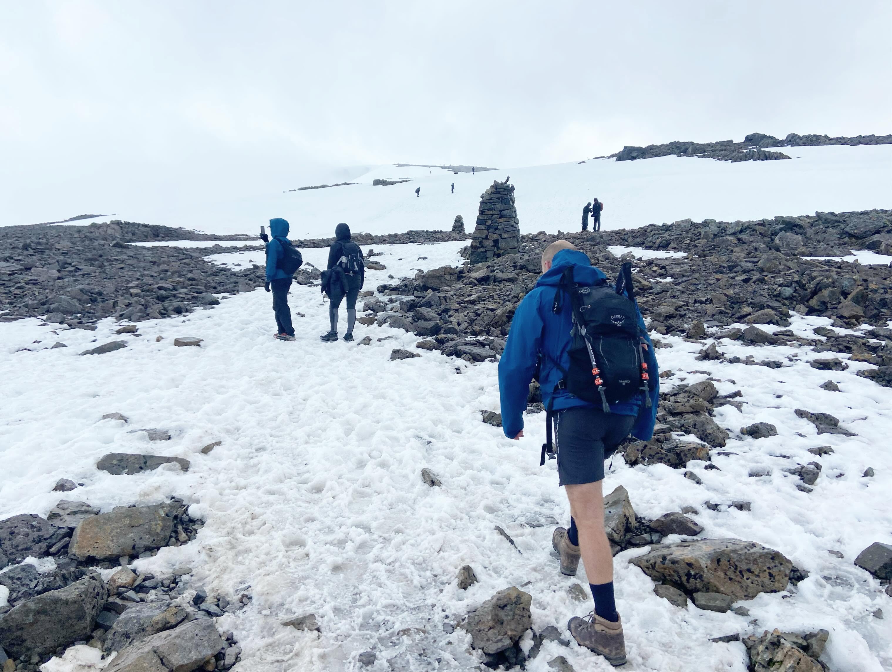
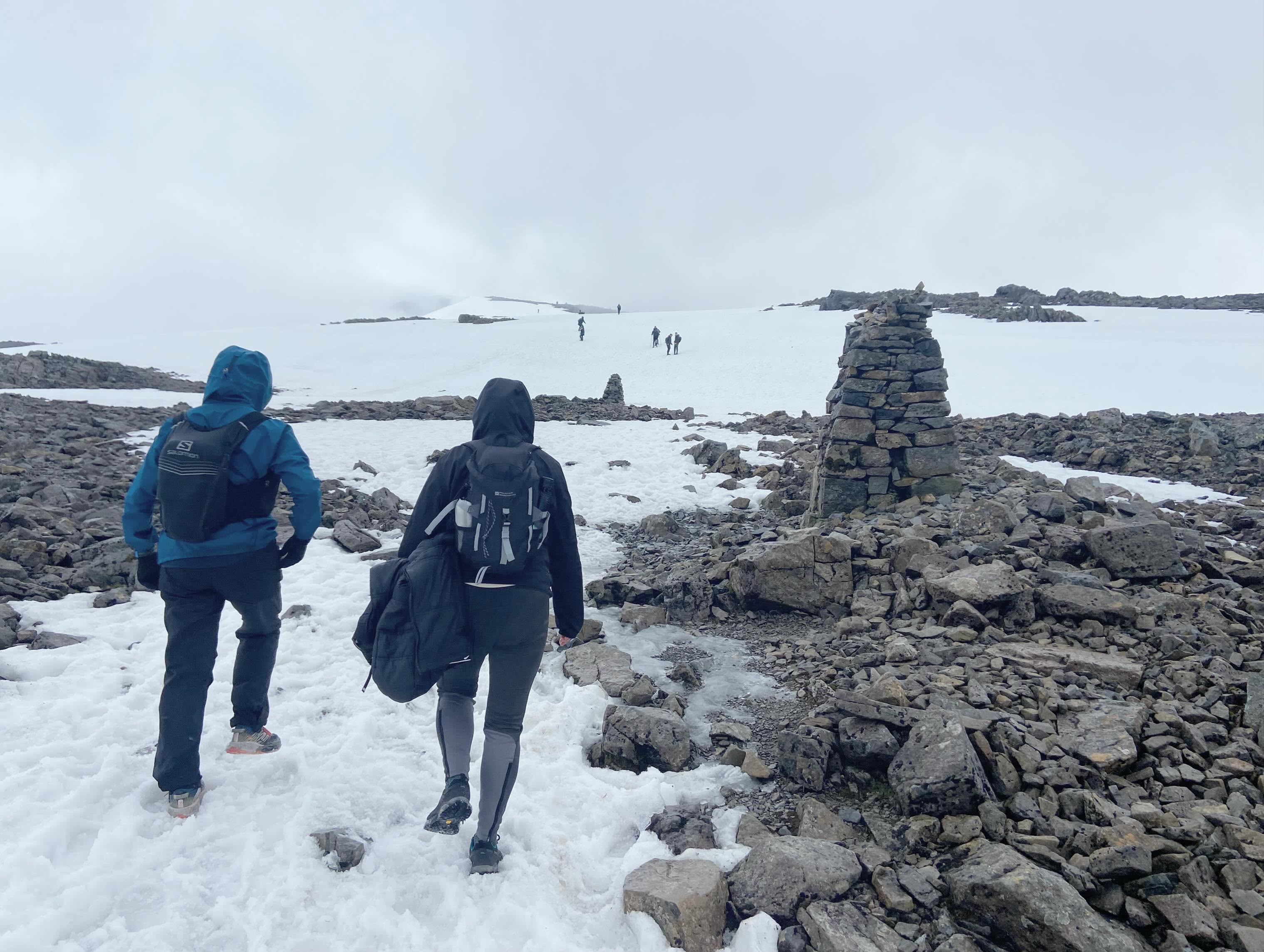
Compass bearings are primarily used to navigate safely off the summit of Ben Nevis rather than to find it, as the final approach via the Mountain Track is normally marked by cairns. Unfortunately, the cairns appeared and disappeared in the clag, so we cautiously followed the people ahead, hoping they weren’t making any catastrophic navigational mistakes.
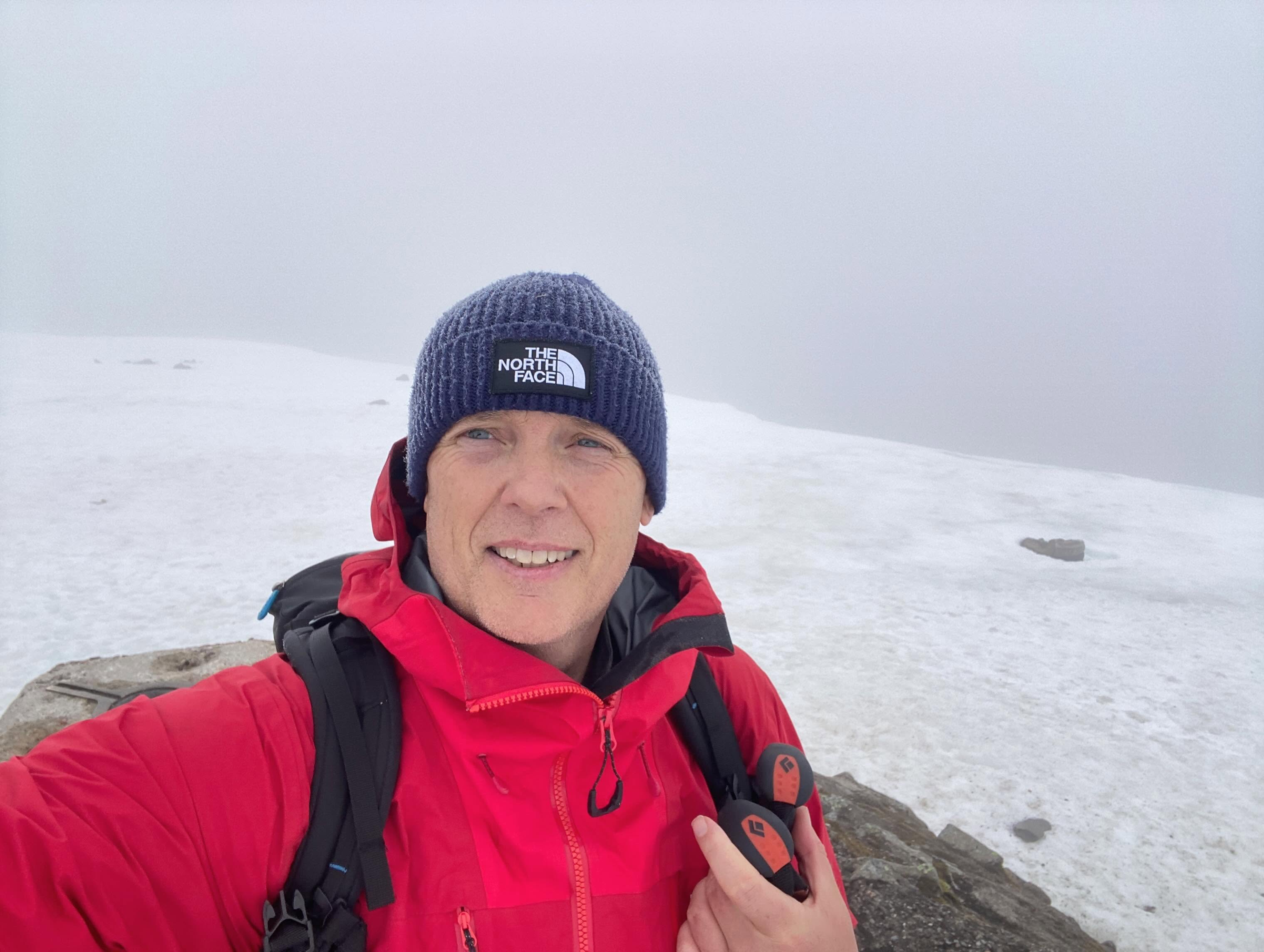
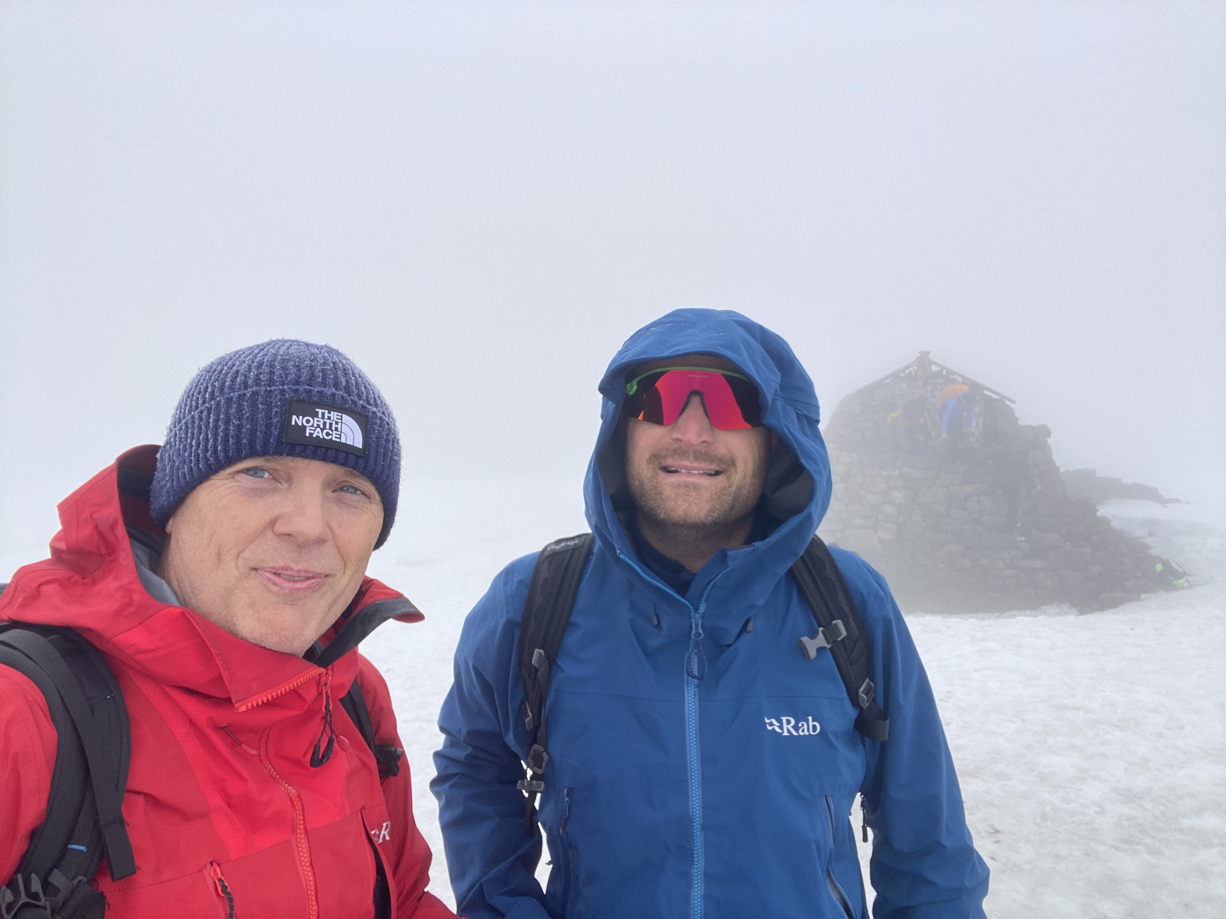
We reached the summit in an almost complete whiteout. It was bitterly cold, so we didn’t linger. There were no views to admire anyway.
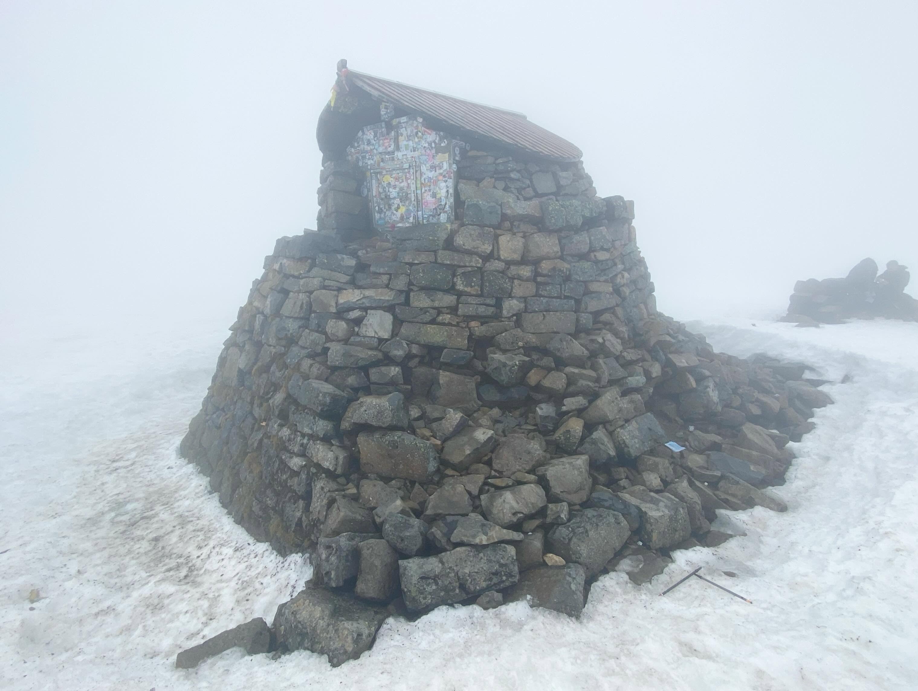
For the descent, I took a grid bearing of 231° for 150 metres from the summit cairn (or emergency shelter). This safely led us away from the summit and prevented us from accidentally straying over the steep drops into Gardyloo Gully on the mountain’s north side.

After pacing out the 150 metres, I switched to a grid bearing of 282°. Following this line, we threaded our way safely between the North Face cliffs and Five Finger Gully before picking up the top of the Mountain Track’s zigzags at the 1,200-metre contour.

A few glissades down the snow and ice patches, and we were soon making rapid progress back down the mountain.

Before long, the glen came back into view. We crossed the over-engineered bridge to the youth hostel on the opposite bank and ordered a couple of well-earned pints.

It wasn’t the glorious, exposed ridge scramble we’d travelled north for, but the lingering snow, challenging conditions and wild Highland weather still combined to make it a memorable day in the mountains.

Winter Mountaineering Adventure: Battling Tough Conditions in Scotland | 2024

Gairich

In January I was invited along by two lads Malc and Paul that I’d met while in Nepal to join their winter trip up to Scotland to try and bag some remote Munros in the Highlands.

I have limited experience of winter conditions in Scotland having been only twice before to sample its unique delights.

Winter is an ephemeral thing in Scotland and predictable winters are few and far between these days with conditions ever changeable due to either global warming, periodic climatic shifts or whichever other theory you want to choose from.

The Winter of 2024 would prove again to be highly unpredictable. As chance would have it on the weekend that we had all chosen to make our trip up to Scotland she was battered by some of the worst and relentless storms seen up there in over forty years!

Having all arrived in Fort William our first day greeted us with dashing cold rain, sleet and a blustery wind outside. With it still dark we kitted up and left the comfort of our rooms for our first challenge, Gairich!

Loch Quoich

Gairich lies along the southern side of Loch Quoich. It is 919m tall and is nearly always climbed from the Loch Quioch Dam which was coincidentally also our intended route starting at grid reference NH070024

Despite its relatively low height the mountain is rough and quite isolated. The guidebook described the mountain as thus: The dam wall is crossed and a path is picked up which goes south for 2.5 kilometres to reach the lower part of the east ridge. It is then a five kilometre climb up the ridge to the highest point, crossing the subsidiary top of Bac nam Foid (584 metres) on the way. The final section to the summit is a steep climb with one tricky and narrow bit.

The Scottish Highlands

The weather was overcast and cold with light sleet and snow. We trudged across some marshy bogs and peat to finally reach the start of the ridge. There we were greeted with pockets of sludge and snow under a fine layer of thin ice.

Gairich

The mountain looked magnificent though, covered in a layer of white snow with the summit clearly visible to us all.

The snow on the flanks was deep and at times up to our waists as we made our way up. We made deep snow steps as we ascended, using the ice-axe only when needed. The crux was as described both tricky and narrow, with the added jeopardy of cornices on the leeward side of the arete.

After some careful foot placement we found ourselves on the summit slopes. The wind was battering us hard and the visibility fell dramatically, but soon enough we made it to the summit cairn.

On the summit of Gairich

Malc and myself on the summit of Gairich

The views were non-existent and with the weather worsening we quickly congratulated ourselves on a job well done for having made it to the top. Now it was time to beat a retreat before the conditions worsened.

Sliding, slipping and occasionally making the correct moves we scuttled off the hill. Beers were enjoyed that night back in Fort William by all.

Day Two came about with even worse weather to greet us in the early hours of the morning. It was still dark at 7am that morning as we left our rooms for the days objective, a double header of A’ Chralaig and Mullach Fraoch-choire.

That day Storm Isha was being forecast to hit Scotland with extreme wind, rain and snow! The storm had not fully arrived yet but the portents were not looking good! But we had decided to try our luck anyway.

A’ Chralaig and Mullach Fraoch-choire are both near the Cluanie Inn in Glen Shiel. A’ Chralaig is the highest peak along Glen Shiel. She is is a massive mountain and despite being lesser known than many of her neighbours is actually the highest summit in Kintail. The summit of Mullach Fraoch-choire is a short distance beyond and was the second intended Munro of our day at a whopping 1102 metres.

A’Chralaig started with an unrelenting climb to 735m through heavy snow with only glimpses of blue skies afforded us. The steepness gradually gave way to some easier terrain but the wind picked up and the battering made for a very tough climb.

Crampons were pulled out and put on for the final summit mound push. The wind was gathering a pace and I faffed around to secure my crampons firmly on my boots. The ground underneath was razor sharp ice with spindrift battering my face, cocooned inside my winter jacket I was beginning to wonder if this was all beginning to look like an ill-judged venture!

Tackling tough conditions on A’ Chralaig

After what seemed like ages isolated in a world of my own doubt hidden behind snow goggles, various layers and hoods we all made it to the summit of A’Chralaig, a miserable and cold place at 1120m.

To continue on at height along the ridge to Mullach Fraoch-choire in the conditions we now faced would have been folly, so we sensibly and much to my relief turned back down the way we came and retraced our steps.

Good decision making, but frustrating nonetheless. A tough decision to make but the right call with -15 windchill and very strong winds gusting at over 45 miles an hour.

We retreated back down to the Landour Bakehouse housed in an old fashioned Bothy, situated just across the road from the Cluanie Inn. We ate cake!

Storm Isha continued to batter Scotland mercilessly and we had to concede defeat on the last of the planned days outing so instead we all decided to return home. The trip was a bit short on summits achieved but it was big on character building lessons learnt in the mountains. Scotland delivered us a winter trip long to be remembered!