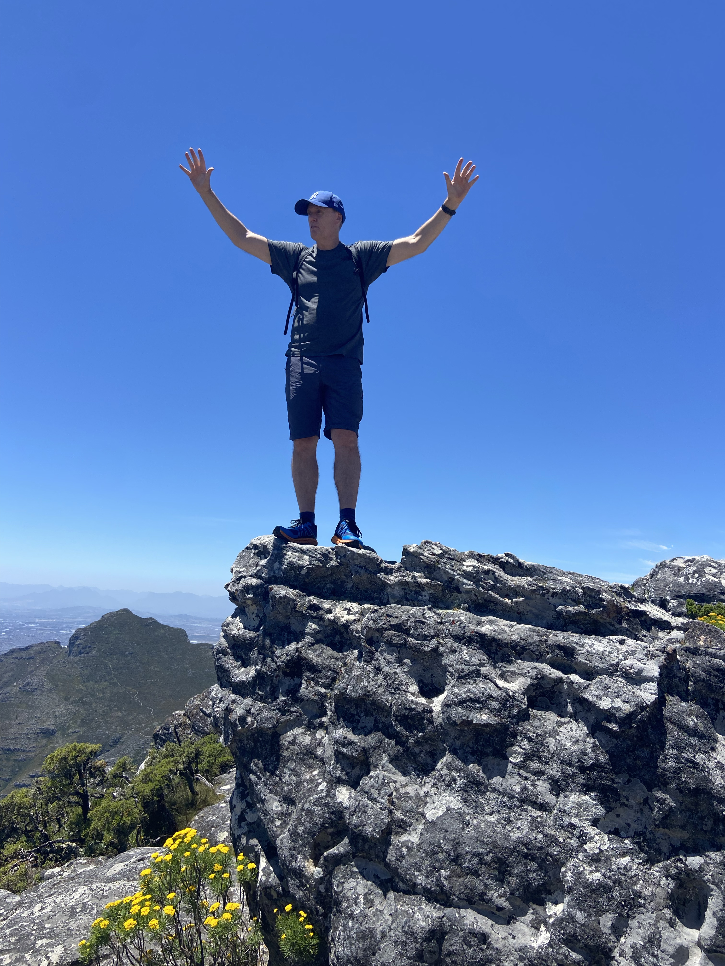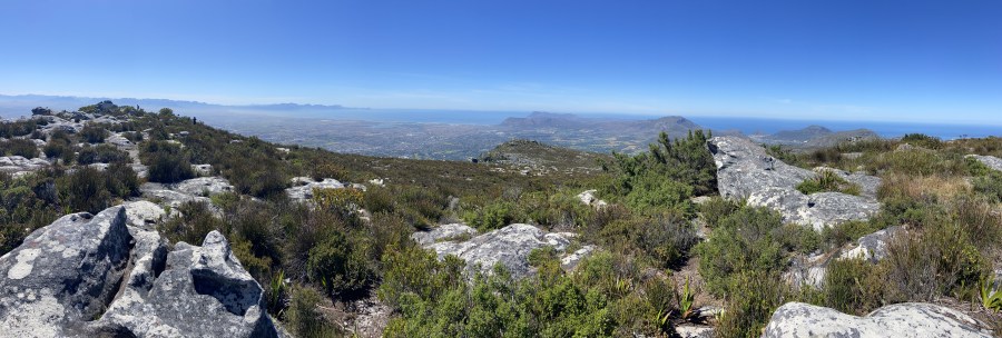
Table Mountain is the famous flat-topped mountain overlooking Cape Town, South Africa. Rising to 1,085 metres (3,563 feet) above sea level, it had always been high on my bucket list of mountains I’d wanted to climb.
In 2023, I finally made it to the Western Cape and immediately pencilled in a day to attempt the summit via the more adventurous India Venster Route — one of the most thrilling, steep and technically challenging routes up Table Mountain.
What and Where Is the India Venster Route?
So, what exactly is the India Venster Route?
The name India Venster translates roughly to “India Window” from Afrikaans and refers to two distinctive features along the route.
Firstly, the trail passes directly through India Ravine. When viewed from the City Bowl below, the contours of this green ravine are said to vaguely resemble the triangular shape of the Indian subcontinent.
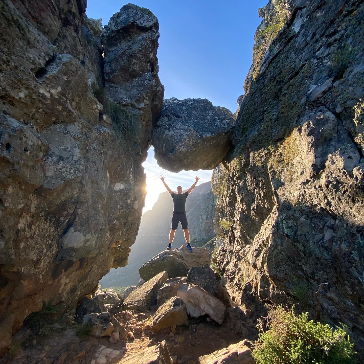
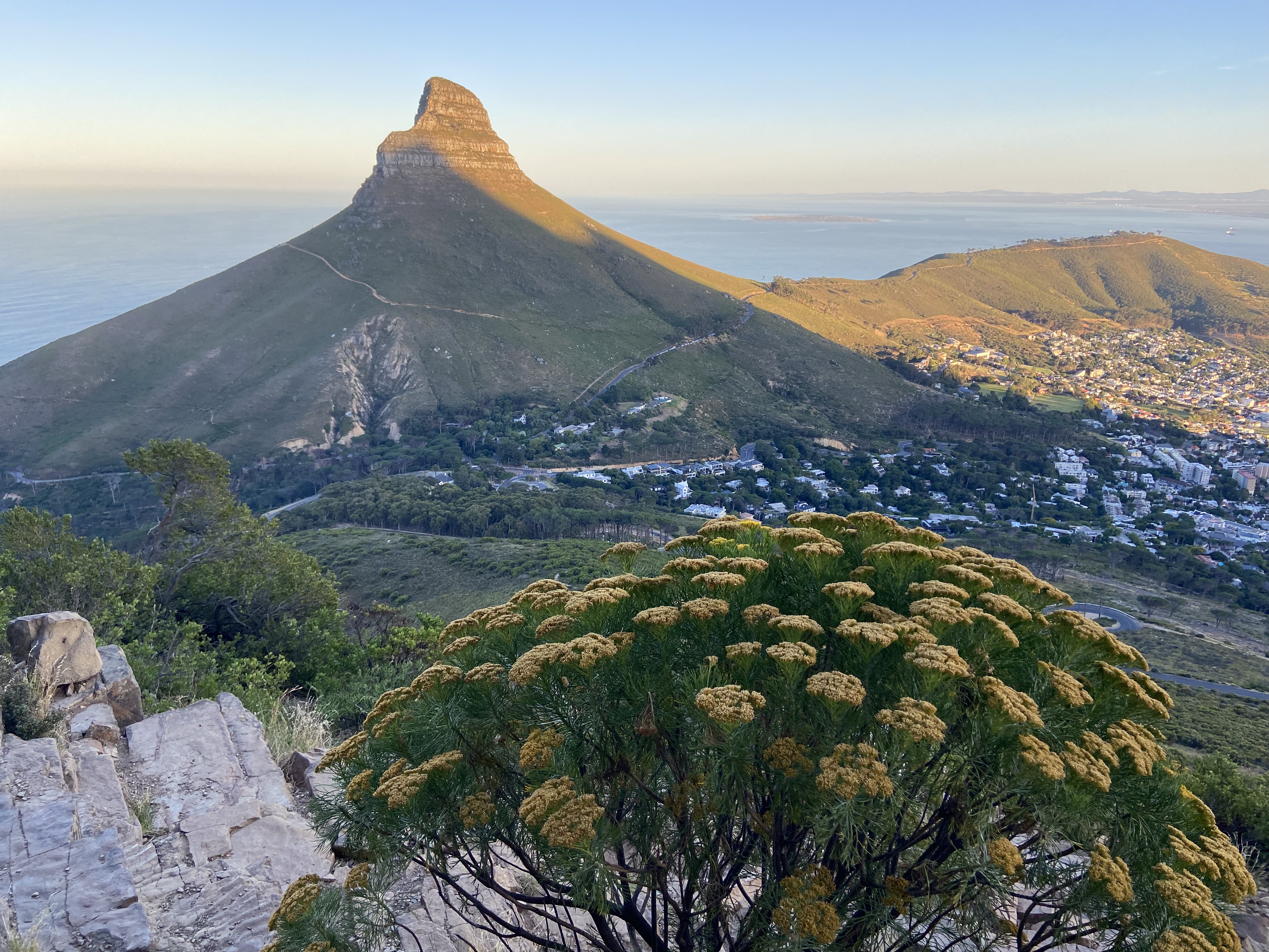
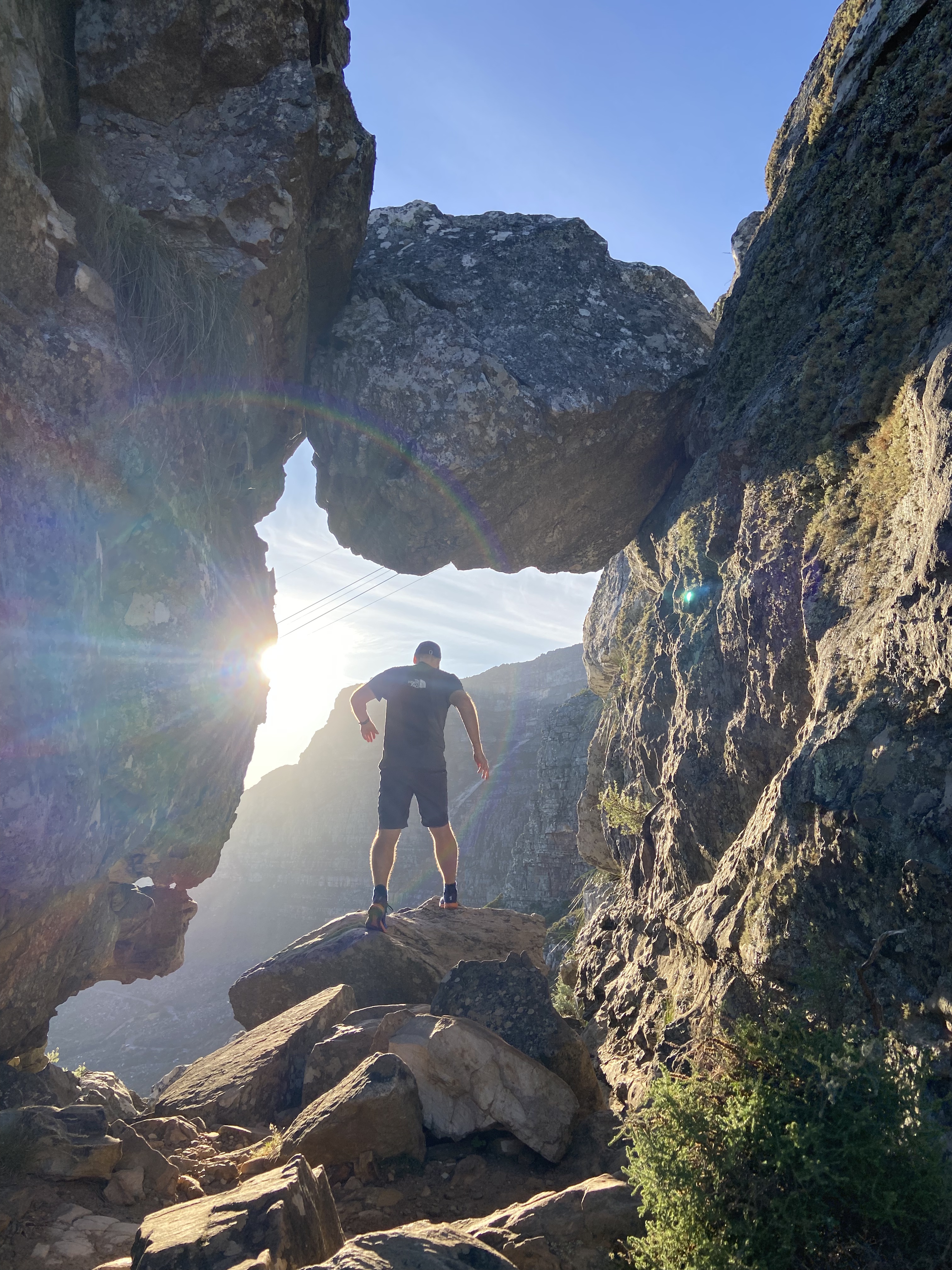
Secondly, the “Venster” part of the name means “window” in Afrikaans and Dutch. About two-thirds of the way up the hike, you reach a famous natural rock formation where a large chockstone creates a frame. This forms a literal “rock window”, perfectly framing a spectacular panoramic view of Cape Town, Lion’s Head and the Atlantic Ocean.
But what is the route itself actually like?
A Brief Trail Overview
- Distance: Approximately 3.7 km (2.3 miles) one way
- Time required: 3–4 hours
- Total elevation gain: 722 metres
- Starting point: Tafelberg Road at Kloof Corner
- Finishing point: Table Mountain summit plateau, near the Upper Cableway Station
- Difficulty: High (Grade B scrambling)
The route follows a well-defined but rugged trail consisting of gravel, massive boulders and uneven stone steps. Approximately 15% of the route involves mandatory rock scrambling and traversing of narrow ledges.
Yellow paint markings — including dots and footprints — act as visual guides along the rock faces. The most vertical sections are equipped with safety chains and metal staples bolted directly into the rock to help you pull yourself upwards.
Although the route isn’t particularly long, the combination of steep terrain, heat and exposure means an early start is highly recommended.
THE START OF INDIA VENSTER
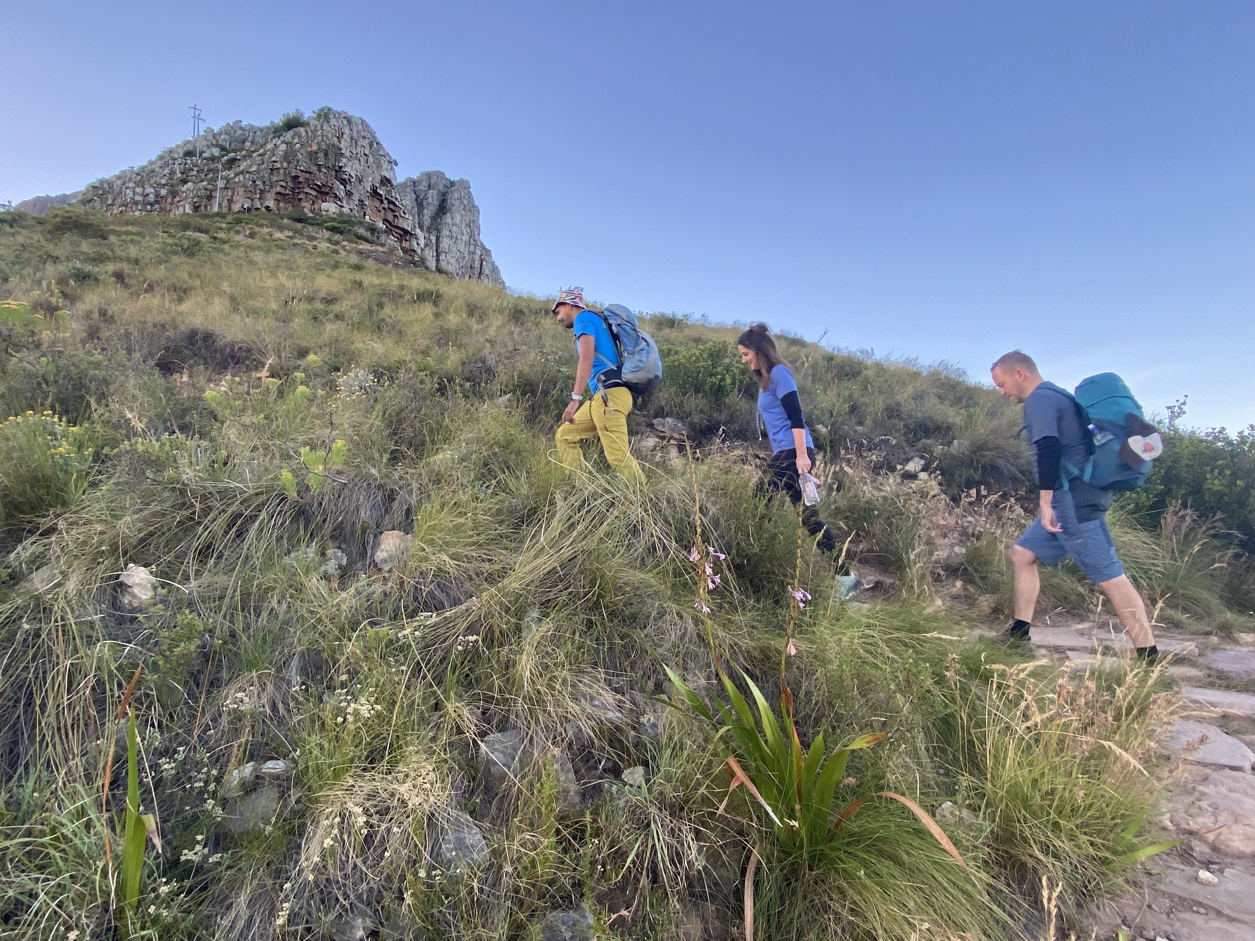
Some steps and then zig-zagging begin almost immediately after setting off from Kloof Corner near the water Treatment Centre eventually bringing you to the Contour Path. From here, the trail traverses southeast for a while before the real fun begins.
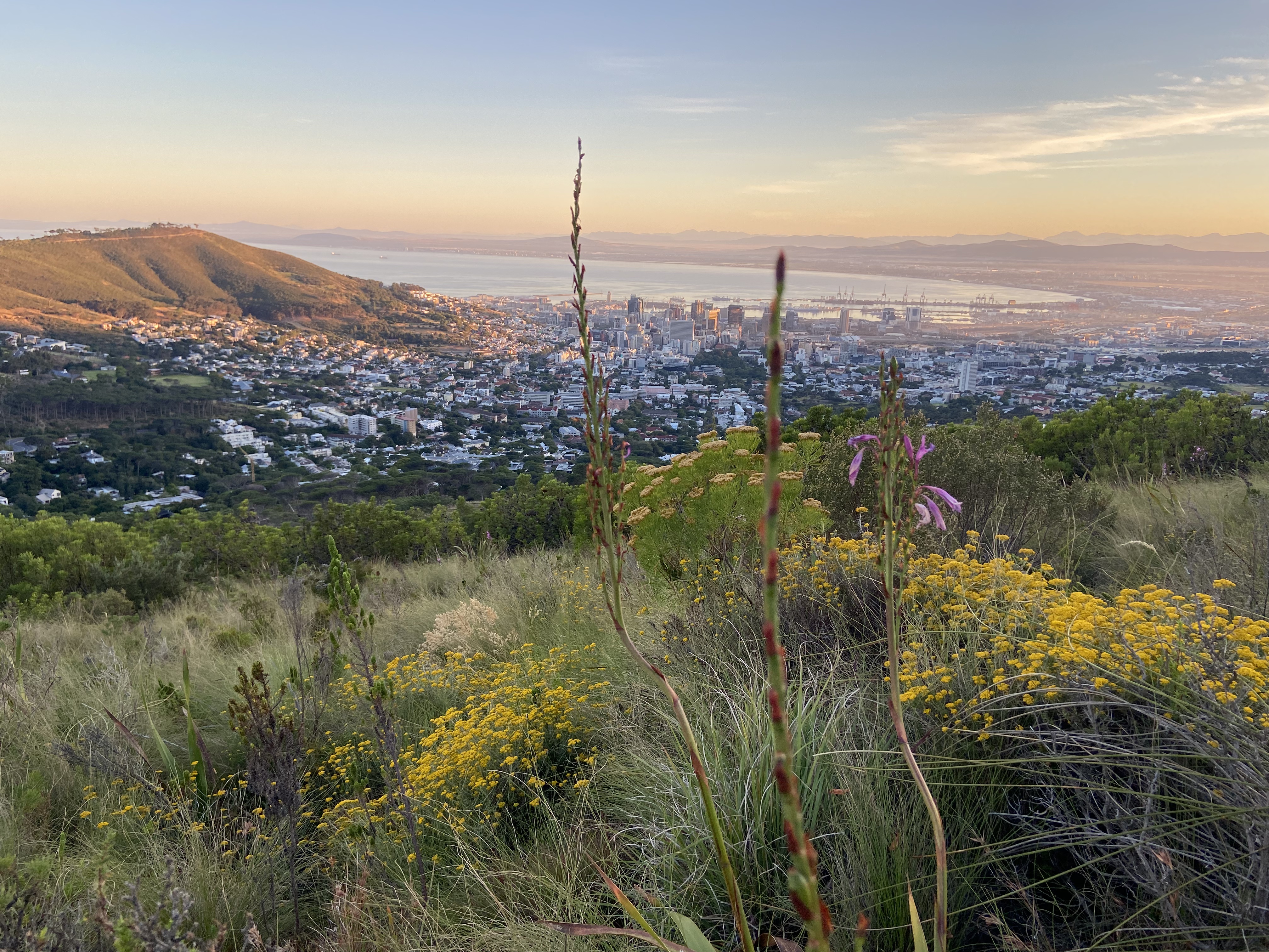
You soon come across a green sign warning that this is a dangerous ascent and recommending Platteklip Gorge as the safer alternative.
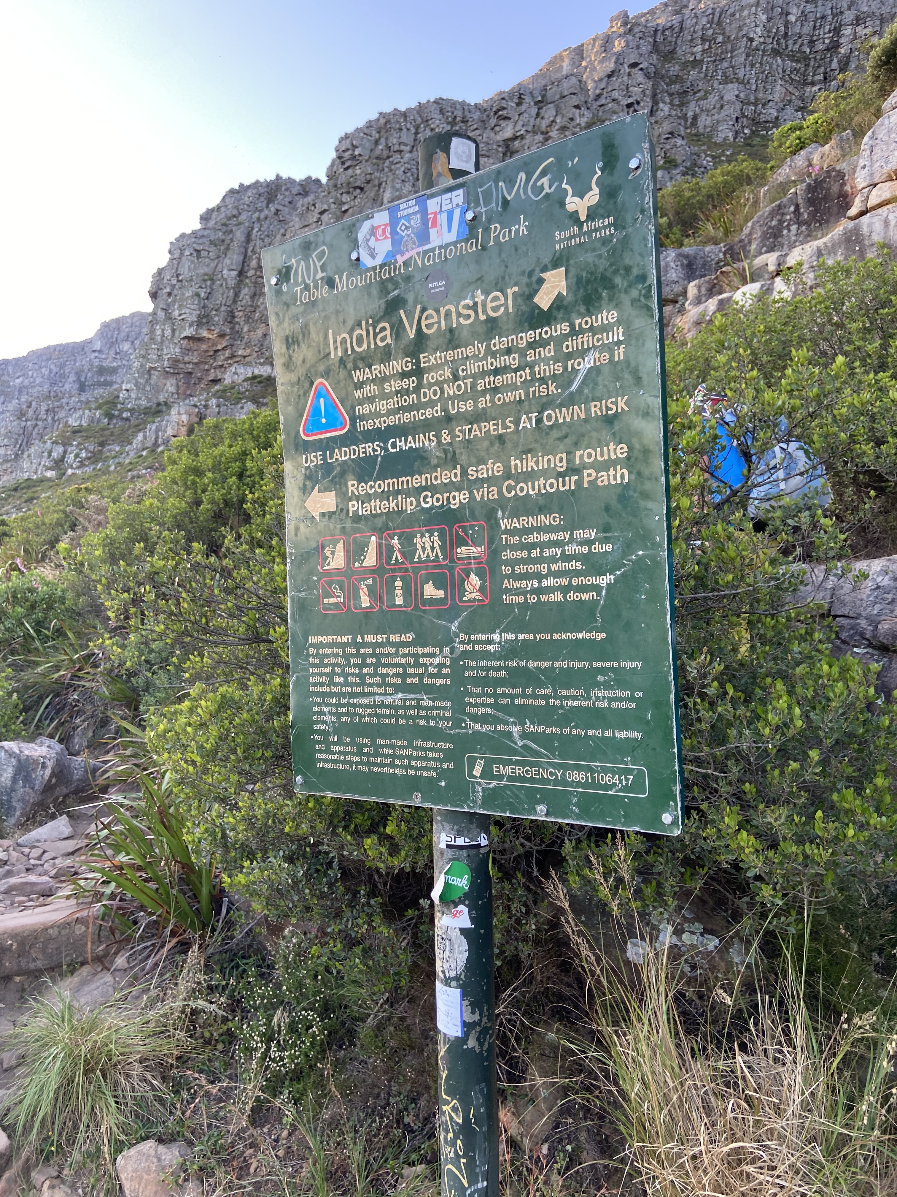
This is where you leave the easy option behind!
THE START OF INDIA VENSTER
The path starts steeply, heading up the right side of the Venster Buttress. The trail is fairly well worn, so it isn’t too difficult to follow. There is some scrambling involved, but nothing particularly technical at this stage.
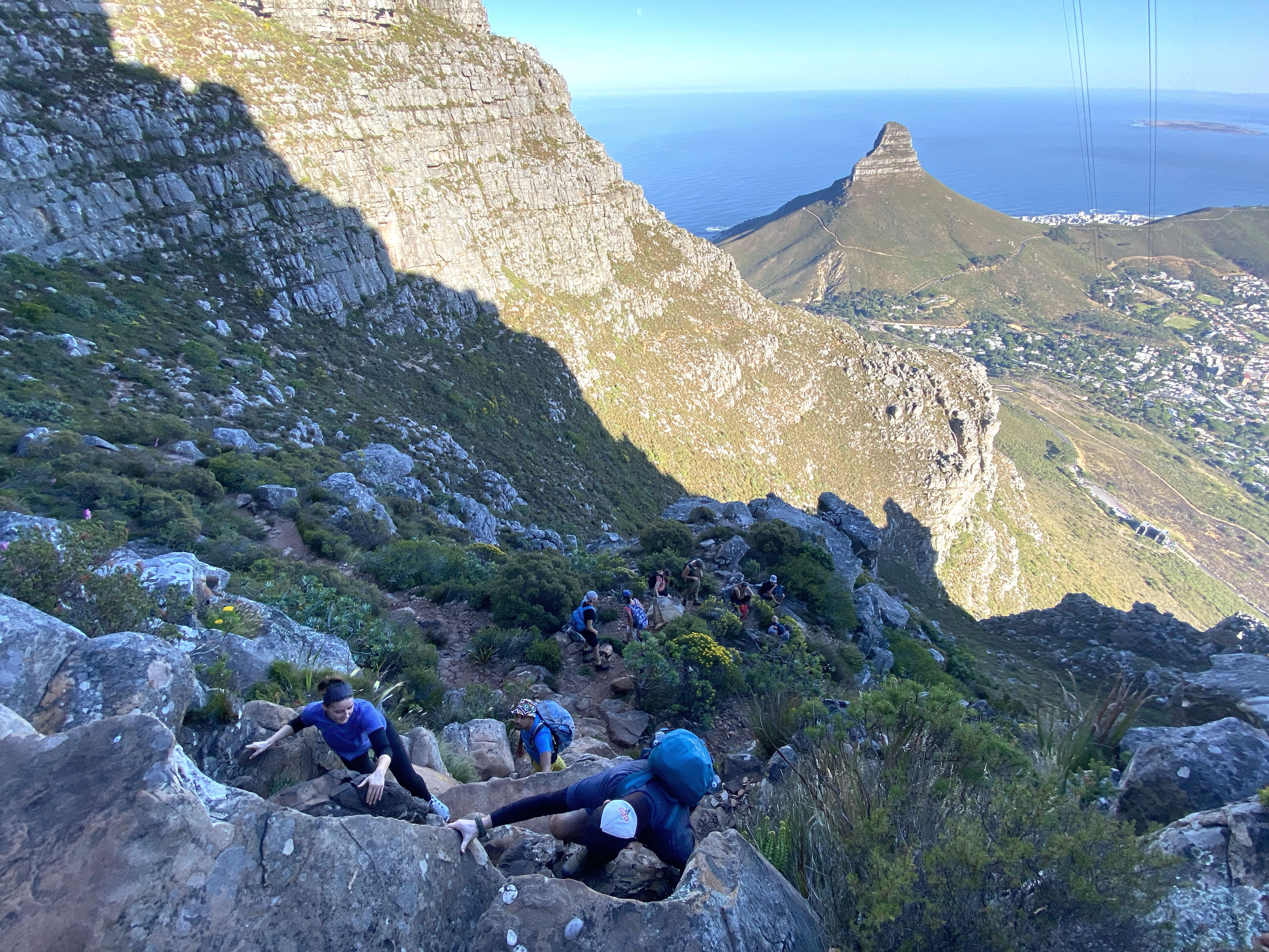
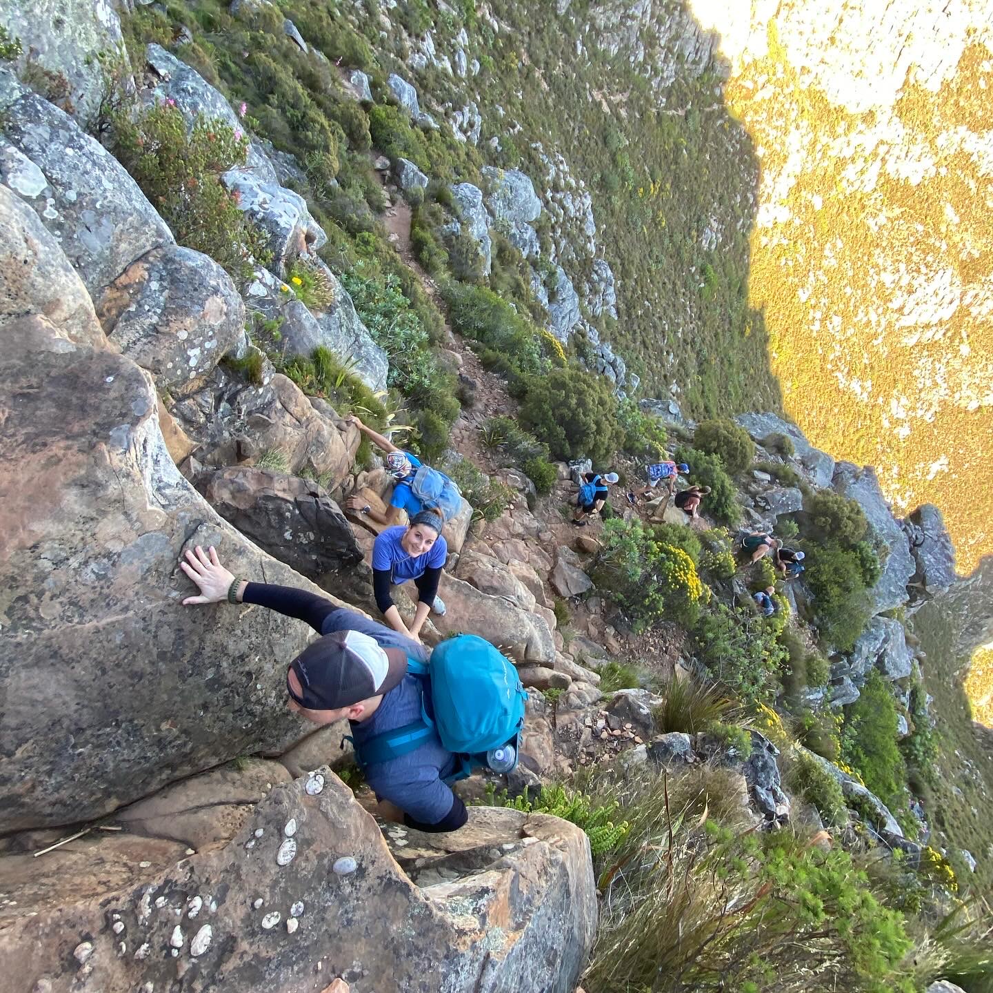
Eventually, you reach the crest, where the path levels out considerably. It’s a good place to take a breather and look ahead to see where you’re heading next.
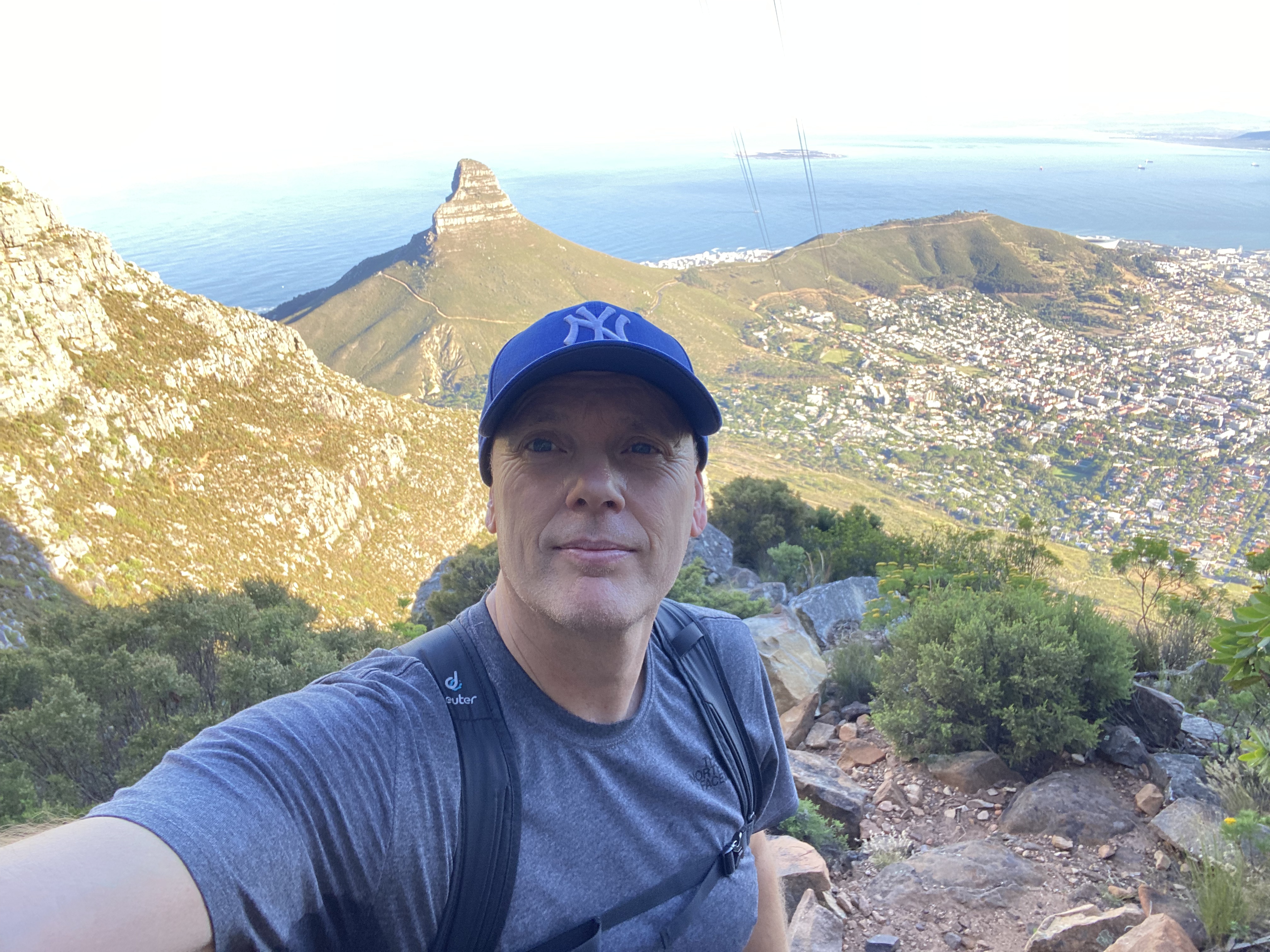
Follow the trail around the base of the cliffs, pass through India Ravine, and then continue underneath the cableway towards Arrow Buttress.
The Venster Spot is situated about three-quarters up the climb. You veer slightly left off the immediate path into a rocky cleft to look through the window opening, which frames stunning views toward Devil’s Peak.
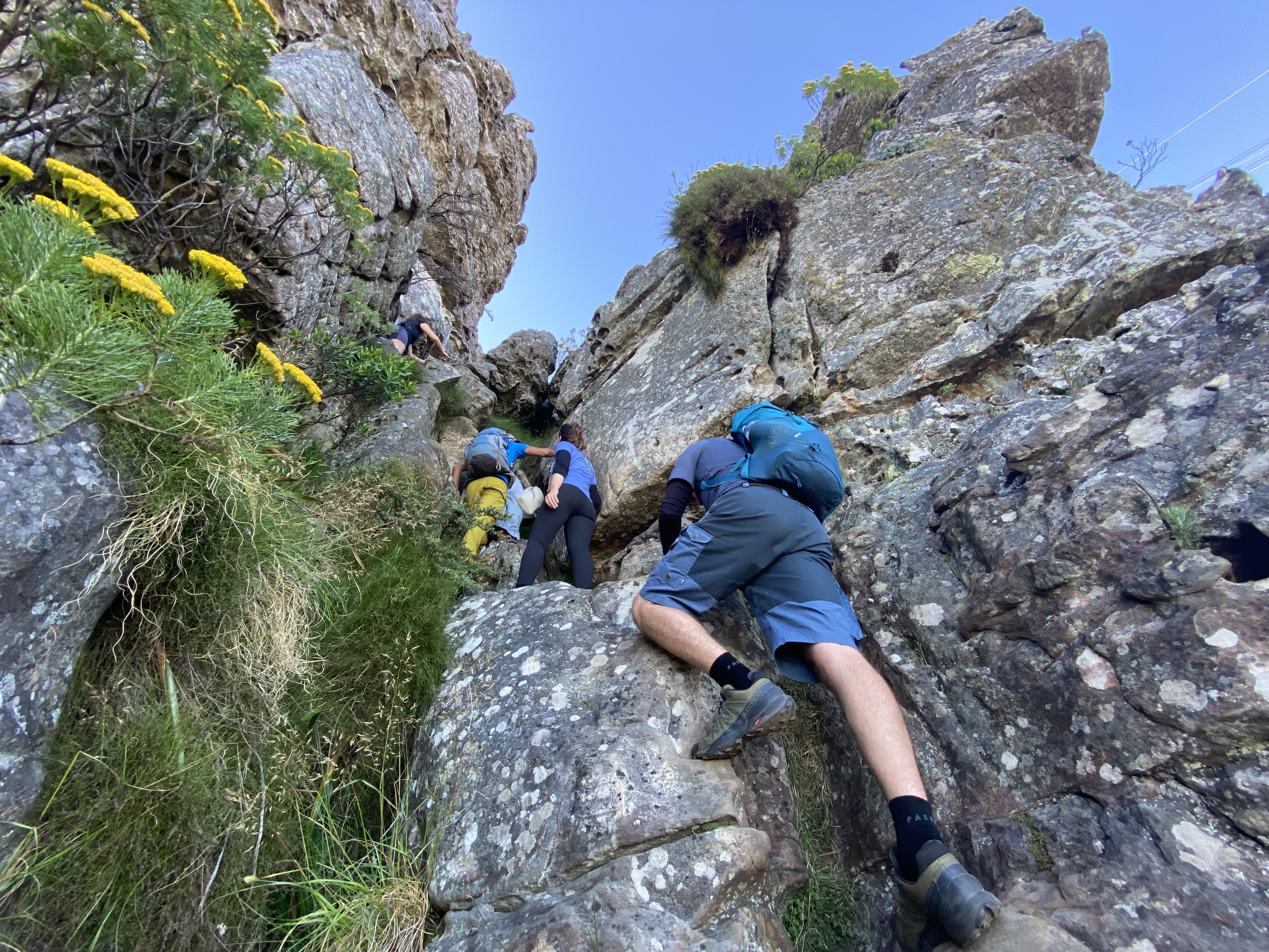
At Arrow Buttress, the scrambling really begins — and this is your last chance to turn back if you’re starting to get any heebie-jeebies!
SCRAMBLING UP ARROW BUTTRESS
This is the steepest section of the trail and, although it isn’t particularly long, it can take around 30 minutes or more to complete.
Follow the yellow footprints carefully. There are several chains and metal footholds to help you negotiate the steep rock sections, but you’ll still need to use your hands and feet to work your way upwards.
This is where the India Venster Route really earns its reputation.
THE FINAL STRETCH
Eventually, you find yourself heading towards the top of Kloof Corner Ridge. Here, the path turns in the direction of the Twelve Apostles, revealing splendid views across the Atlantic Seaboard.
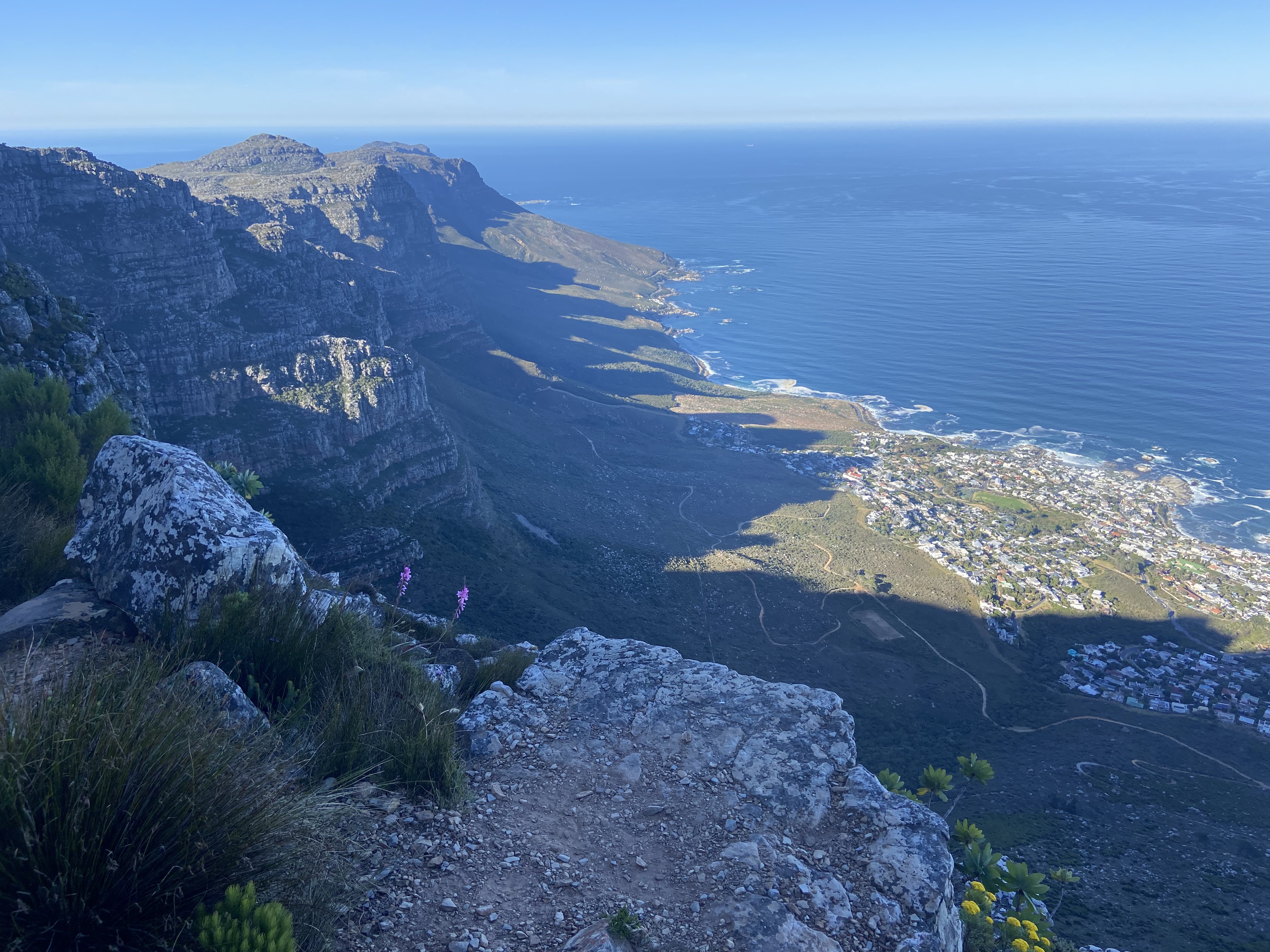
From here, you continue hiking in the shade behind the Western Table — a very welcome relief after the exposed scrambling sections.
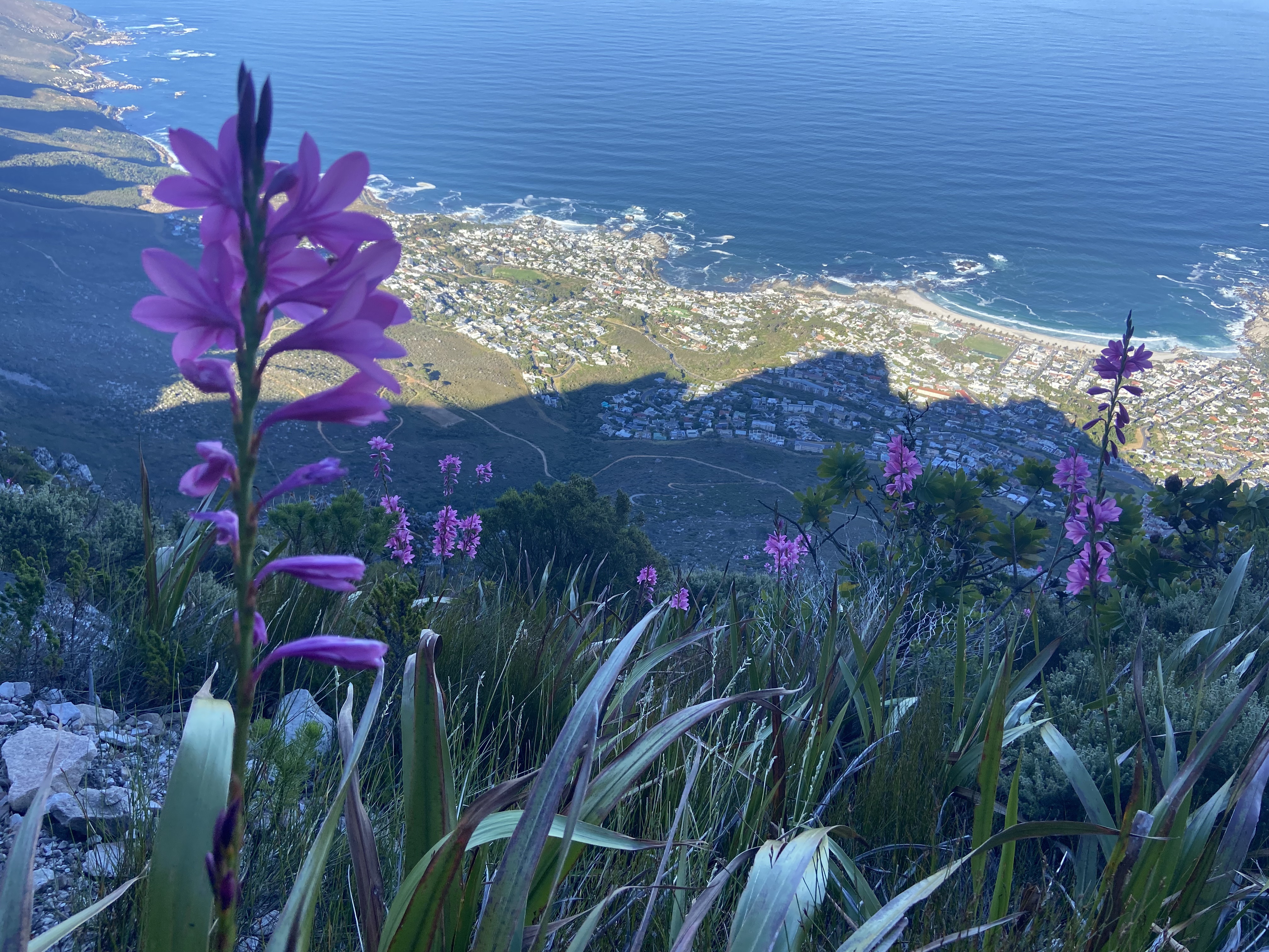
After an undulating stroll, you encounter another short climbing section. By this point, it’s easy enough compared with what you’ve already tackled. Once you’re over this final obstacle, the hardest part of the route is behind you and the final stretch becomes considerably gentler.
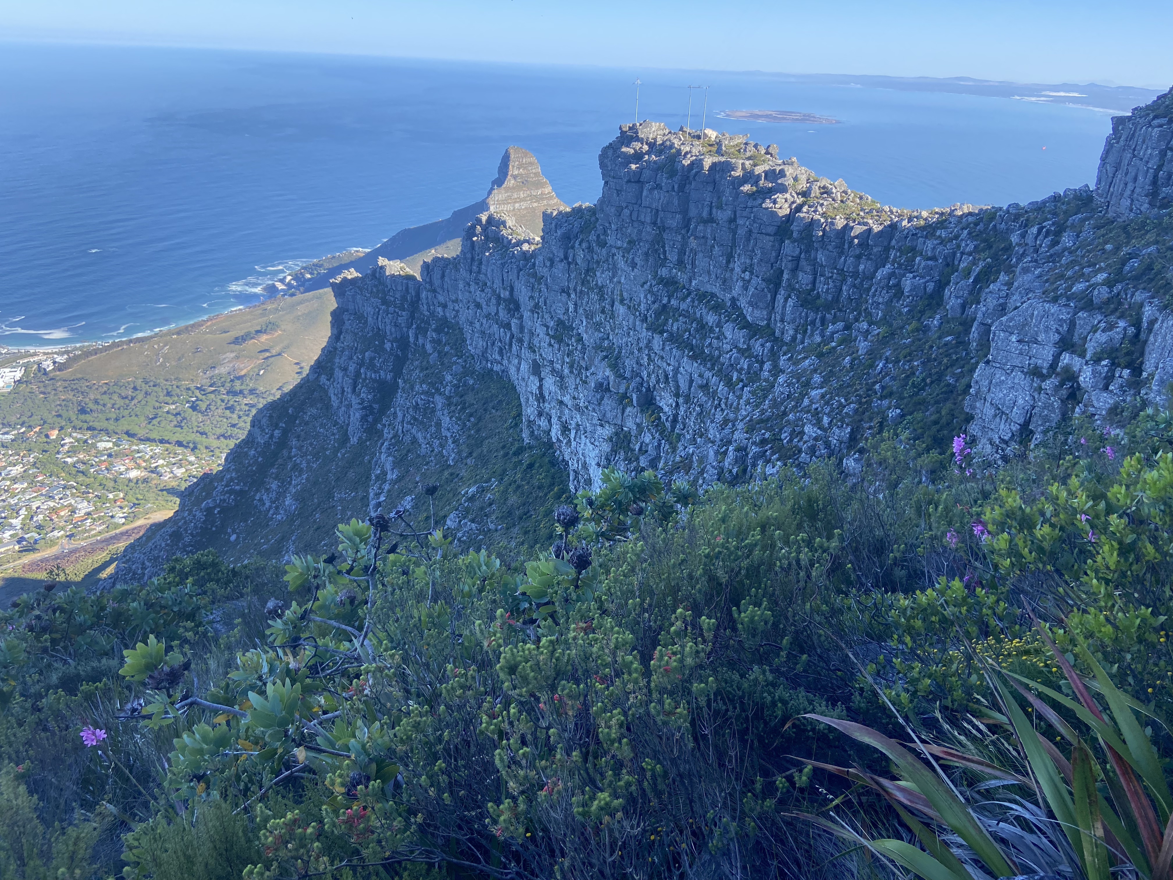
Before long, you begin to see — and hear — the voices of the many tourists who have taken the easy way up by cable car.
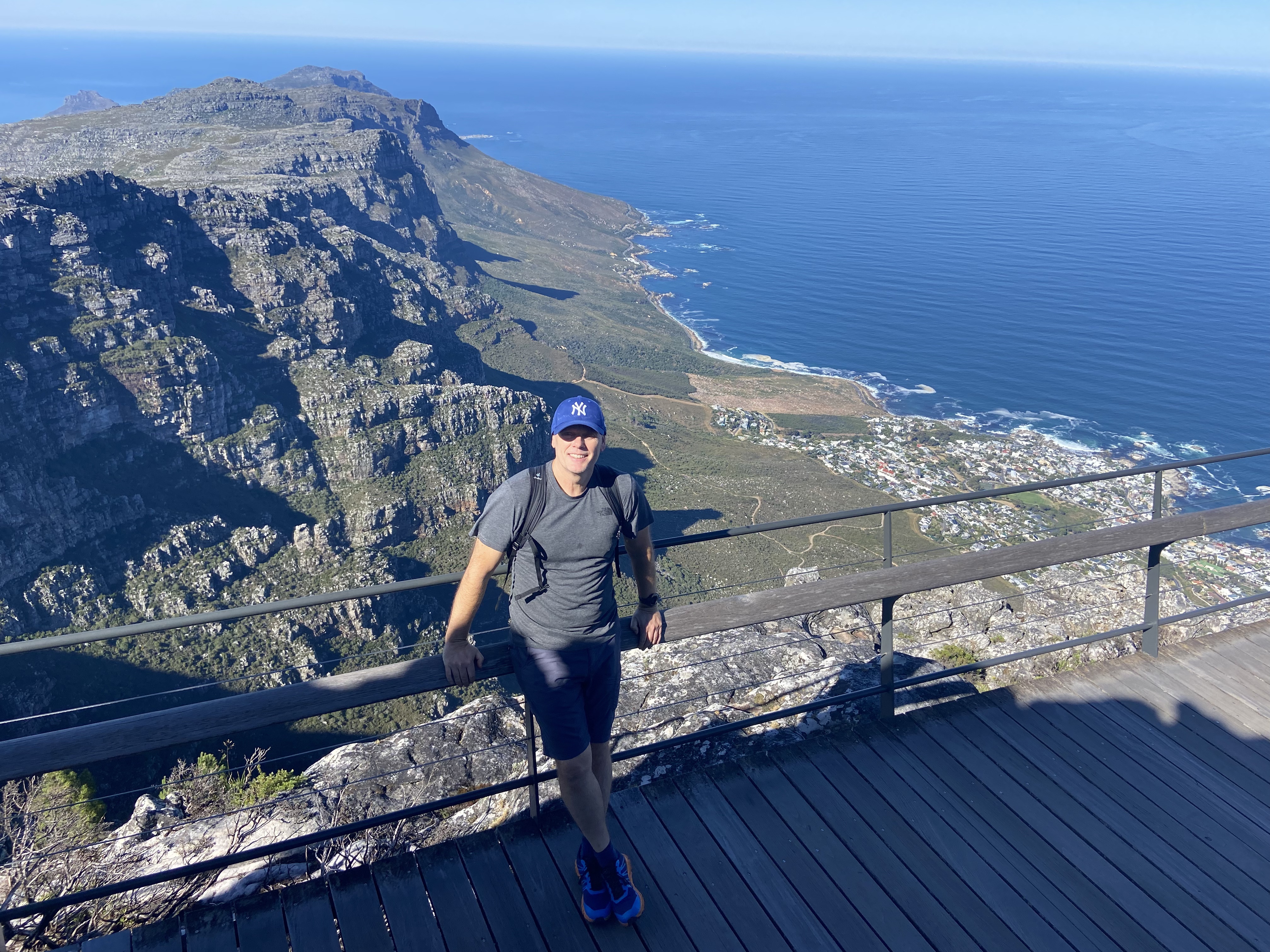
The peace and tranquillity of the climb is over, but the views are tremendous.
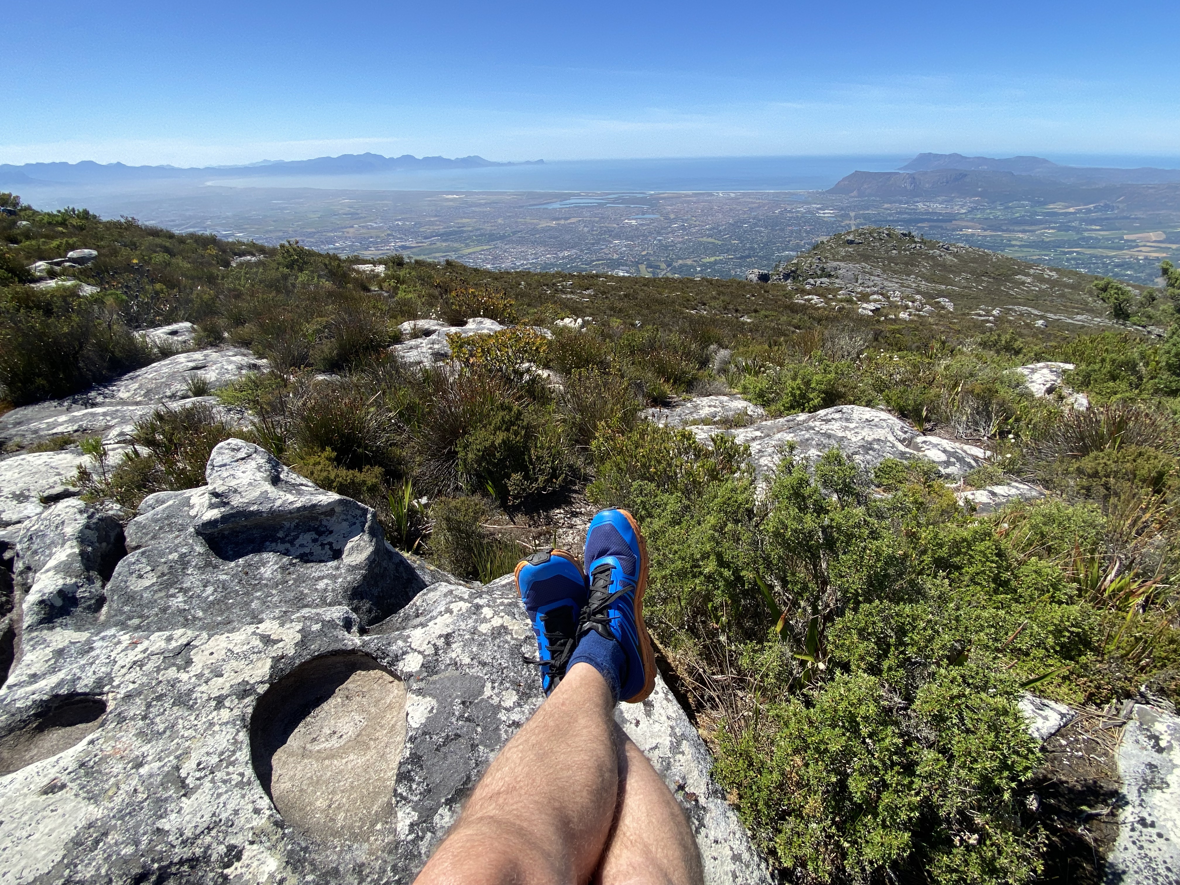
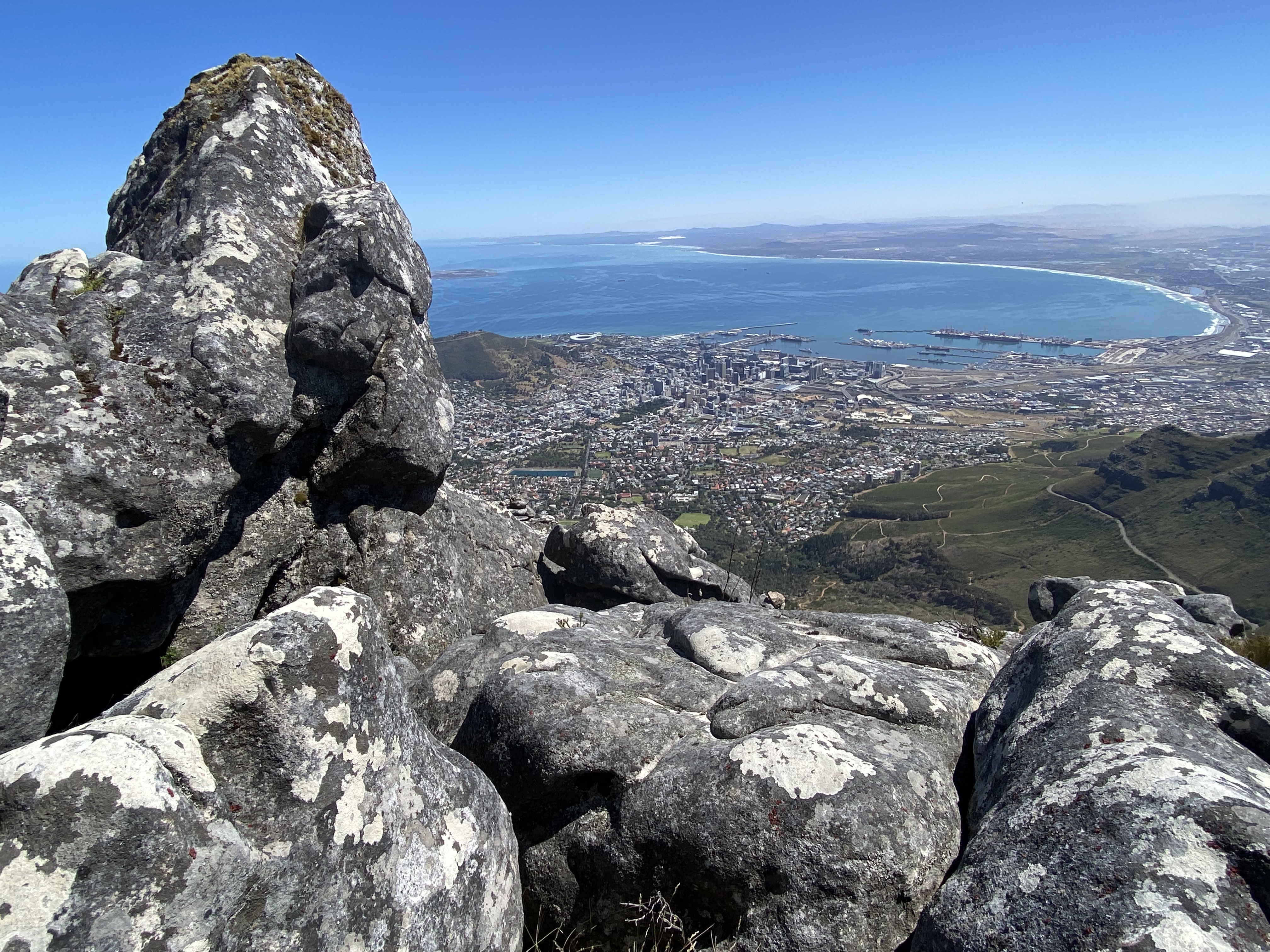
Having reached the summit and awarding myself a medal, I decided to take the cable car back down, allowing me to enjoy Table Mountain from a completely different perspective.