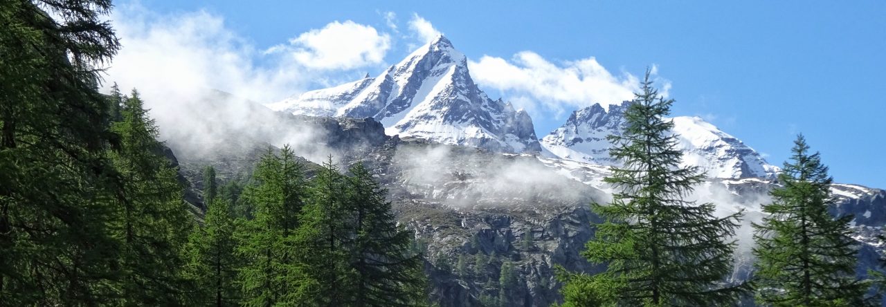
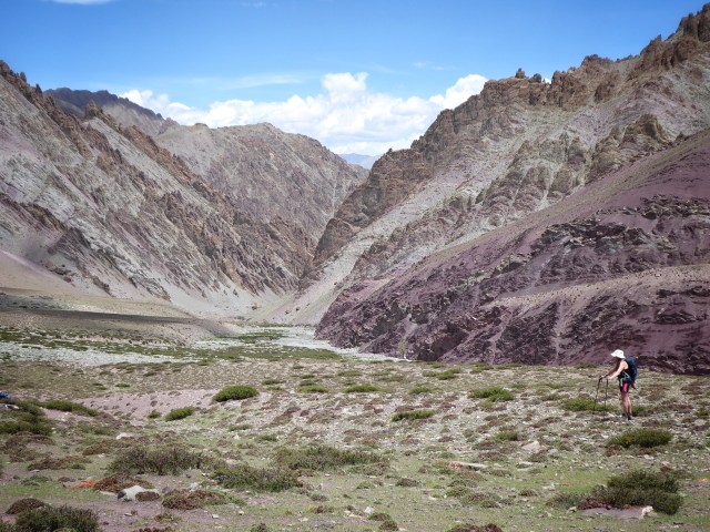
After yesterday’s pleasant stroll that eased us all into the swing of things today’s proposition was much more of a challenge. Some 800 metres of ascent had to be accomplished at altitude over the course of the day. We would be crossing many spurs and minor passes, with occasional spectacular views northwards towards the Indus Valley and the snowy peaks beyond.
 The highest pass of the day would be the famous Shang La at a staggering 4,960m. All thoughts centred on getting across this pass. Ladakh is known as ‘The Land of the High Passes’ and today we were going to find out exactly why!
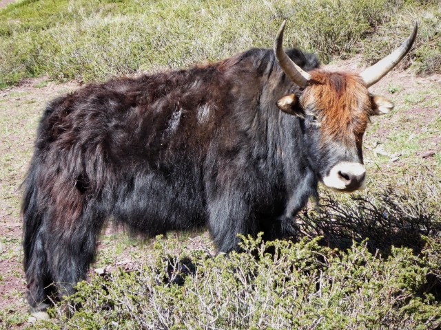
The trail up to the pass was fairly nondescript but some pleasant early morning sunshine made for a pleasant enough walk. I passed countless Yak like beasts, well I assumed they were Yaks although a lack of horns had me questioning myself on the matter (can Yaks be hornless?).
 The profile of the ground steepened and all thoughts of Yak breeds disappeared as the push for the pass began to concentrate all my thoughts. If I could not get over this pass then there would be little hope of me making it up Stok Kangri, a good 1,000 plus meters higher! I steeled myself to the task in hand.

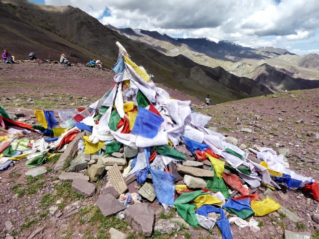
We wove in ant like procession up the trail, I passed other hikers and other hikers passed me, all of us striving to reach the top. After a while I could hear the unmistakable sound of fluttering prayer flags in the wind. Prayer flags adorn the tops of most of the passes in Ladakh and it was at that moment I realised I had finally made it.
 Collapsing in a heap next to my jettisoned rucksack I sat still and soaked up the expansive views afforded by the height. The mountains now stretched for miles into the distance Stok Kangri still looked a long way off.
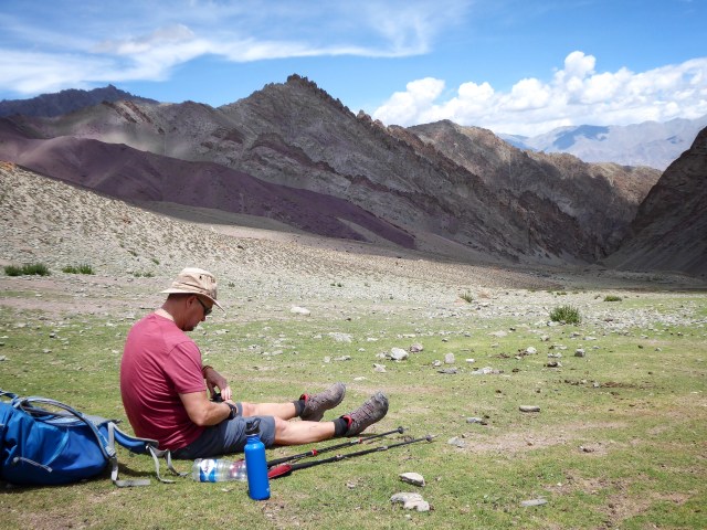 After a few minutes of rest and relaxation we set off again descending towards the Tokpo River for lunch. The valley was wide and the river increasingly distanced itself from our trail. We stopped on a green plateaux for lunch and enjoyed the gentle breeze emanating up the valley.
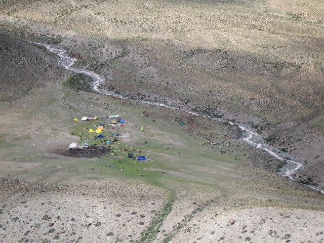
 The afternoon was spent generally trekking downhill carefully watching my steps ensuring no twisted ankles or injuries occurred. We contoured around various dusty spurs until a final climb up to and over a 4,550m pass, then down to Mathophu at 4,400m.
 This was the site of Camp 3, a forlorn windswept grassy spit of land used for grazing horses and cattle and completely covered in dung. A solitary stone hut with dung walls surrounding it to protect it from the never ending winds was the only suggestion of any kind of civilisation.

 I braved the elements to strip and bathe in the glacial waters of the nearby stream running close to the camp and settled in for yet another night under canvas. The landscape was getting more and more remote and the temperature was steadily dropping with each subsequent night, I could feel that we were edging nearer and nearer to our final goal and the anticipation buoyed my mood as I hit the sleeping bag for the night.
Check out more photos from my adventures at: https://www.flickr.com/photos/jameshandlon/albums
