

Piscaycucho also known as Km82 is the start of the Classic Inca Trail and it is where we met our porters and treking crew for the start of the trail. We’d arrived here earlier via a short, dusty and very bumpy drive along a potholed and lumpy track.
This little expedition however had almost not got off the ground at all as we had waited for almost three hours that morning at our hotel in Ollantayambo waiting to meet our guide and driver who had inexplicably managed to get lost on the way to pick us up! Not a very audacious start to a five day trek in the high mountains being guided one might think.
First bad impressions put aside we settled into the tasks of pre-trail pep talk, meeting our porters and distributing supplies not to mention emptying our rucksacks several times to reduce the ridiculous loads we thought we should all be carrying.

It was an easy start to the hike as we trekked above the noisy Urubamba River before dropping down and over a set of railway lines to stand in front of the famous sign ‘Km82’ that signifies the start of the trail. Thousands of trekkers get their photograph taken here before embarking upon their the four or five day trek to Machu Picchu and we were no different.
Not generally liking to conform as a rule though I was glad when we started to trek along the opposite bank to the usual Inca Trail route having been informed it is far quieter and way more picturesque on what is effectively the north back of the Rio Urubamba. There was a nagging thought persisting in my mind however that as our guide cwas not capable of even finding our hotel in a built up area a few hours earlier he may well not actually know his way in the backcountry either. In which case we would trekking in entirely the wrong direction with a clueless guide!

In fact the trail was magnificent and my worries were alleviated as we meandered along the undulating banks of the impressive river. We passed through many old Incan remains consisting of military barracks, rest houses and forts. We marched through terraced agricultural fields and shadowed the railway lines on which the train to Machu Picchu chugs along hugging the banks of the Rio Urubamba. Only 1.5hrs by train! We have three more days ahead of us at this point.
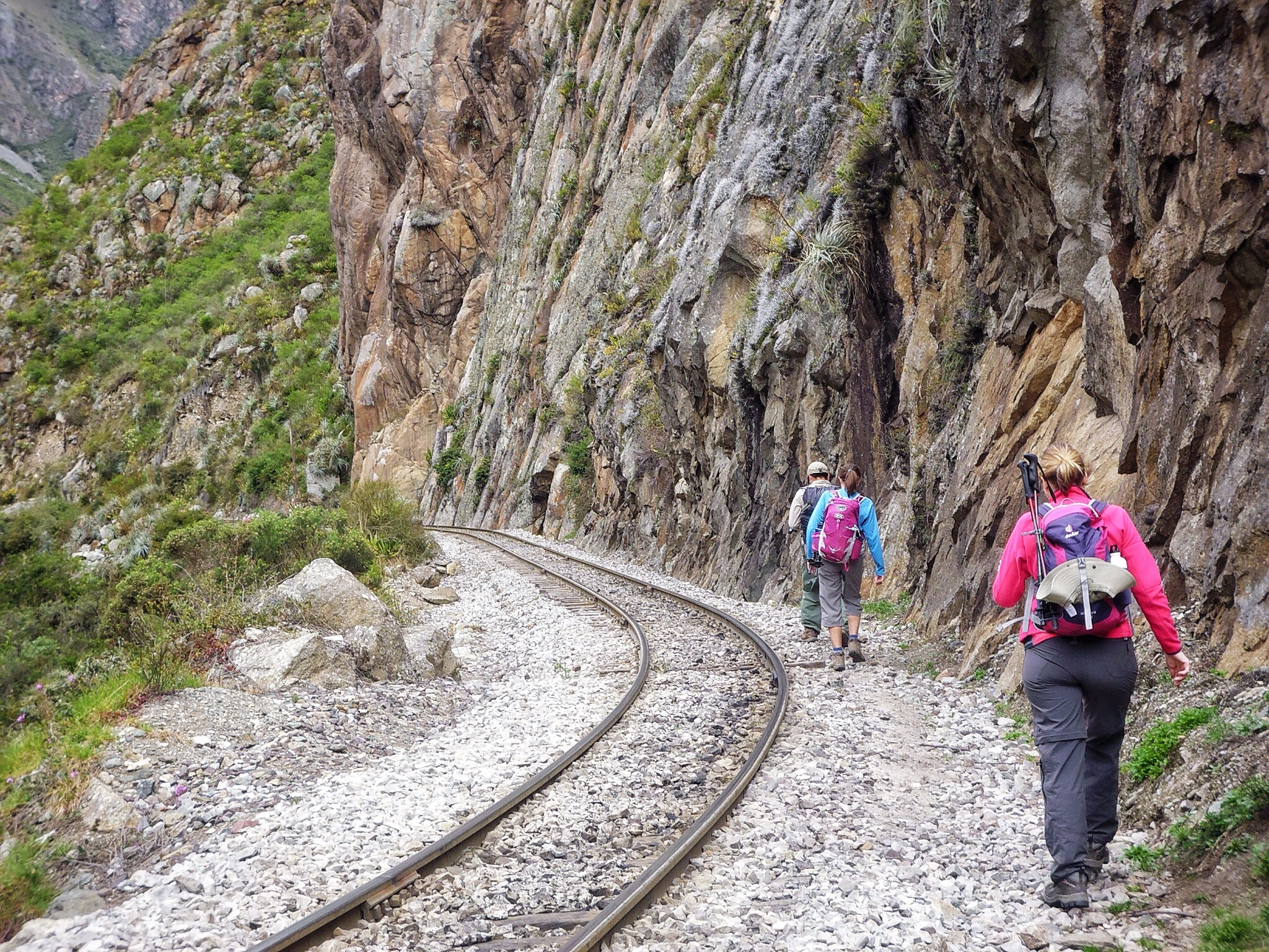

For lunch we stopped at Q’oriwayrachina before crossing the Urubamba at Q’ente. The Qoriwayrachina Bridge straddles the river here at KM.88 and is the only way to cross the river. The foundations are original and date back to old Incasn times and as you cross over the rickety old bridge and hear the white water below you you thank God that the Incas were among some of the greatest engineers the world has ever seen

After 5 – 6 hours of beautiful trekking we finally reached our first camp at Llactapata (2600m) where we pitched up below the impressive Inca terracing in the fading light of the day.
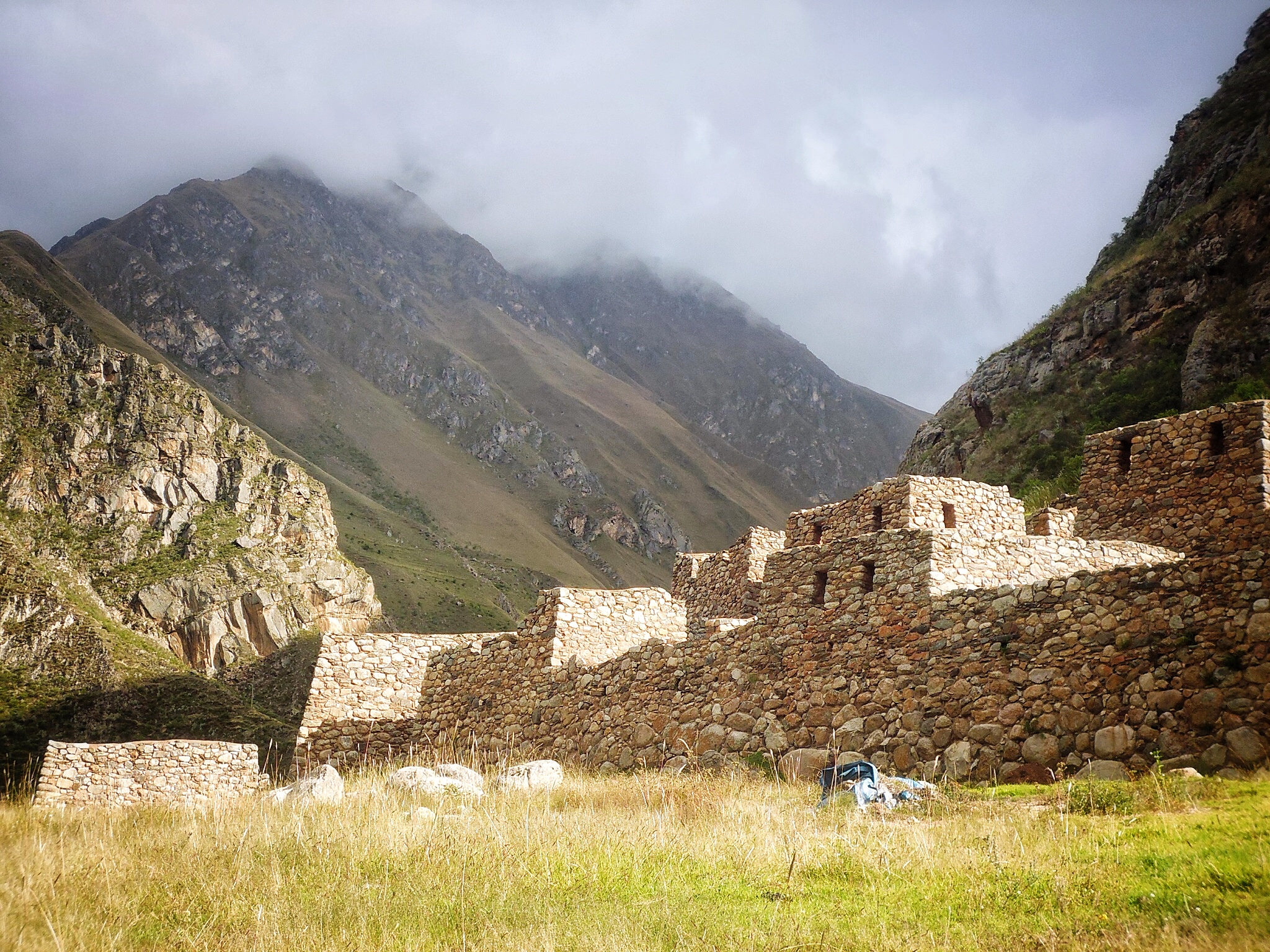
The ruins of Llactapata are thought by historians to have been used primarily for crop production it is very well preserved and is located at 9,318 feet (2,840 m) above sea level. Its name means “High Town” in Quechua. Sadly, few trekkers leave the Classic Inca Trail to visit the ruins that are located a few hundred yards from the trail, but for us that was a bonus as it meant peace and tranquility to wander at will amongst the ruins until unfortunately a nasty thunderstorm rushed up the valley forcing us to evacuate quickly and pitch out tents for the night.
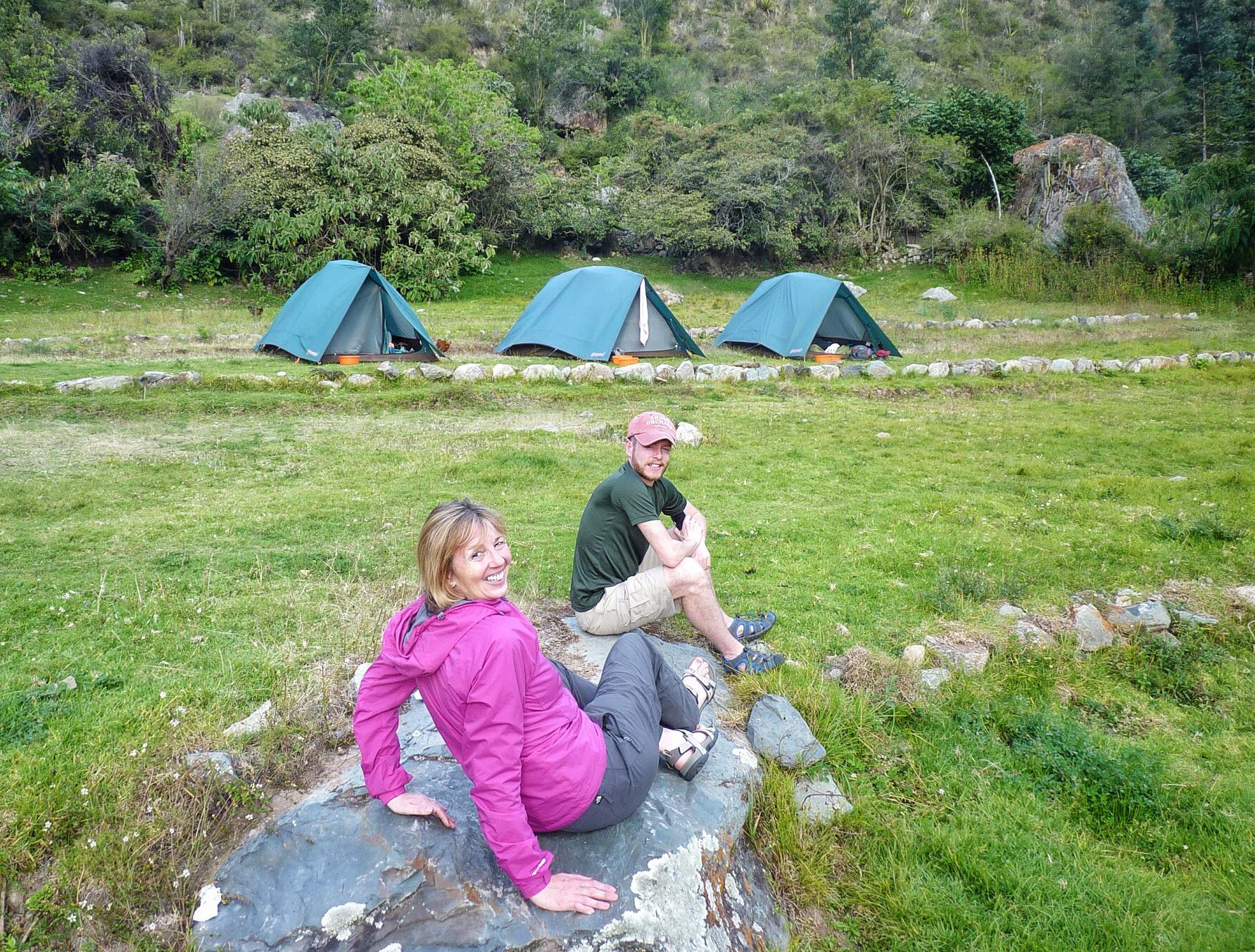
We all slept well in the knowledge that our adventure had now started for real and tomorrow would bring forth yet more wondrous sights for us all to enjoy.
Next in this series of travel dispatches – The Inca Trail – Ascent to Llulluchapampa

