Emstrur (Botnar) – Þórsmörk
Distance: 15 km | Estimated traveling time: 6-7 hours | Max Altitude: 545m
Elevation change: 300 m

Our final day began with rain! Lots and lots of rain! We broke camp having packed away some very sodden tents. Donning our best waterproof gear we left camp following the crooked path down to the narrow and precipitous bridge over the Syðri Emstruá river.

The trail changes it’s look and feel yet again for this final stage of the journey on it’s way to Almenningar. Here the landscape starts to transform once again into an immense world dotted with peaceful streams and lined by lush arctic birch and flowers.


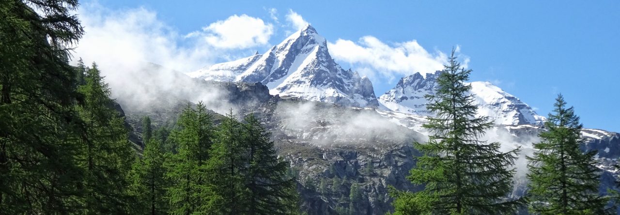
We passed along the picturesque valley with the immense and impressive Myrdalsjökull ice-cap shimmering in the near distance to our left.
The day proved to be one of the most challenging parts of the trail due to the constant sheet rain that buffeted us mercilessly for hour upon hour. Our new found expertise in cold glacial river crossings came in handy yet again later in the day for the challenging negotiation of the mighty Þröngá.

Once across we bade farewell to Almenningar, and set our sights on the Þórsmörk valley ahead. Alaskan Lupins now lined the trail as we trudged our way across a mixture of black ash and lush colourful foliage.

A mixture of relief and sadness started to well up inside me as part of me was glad that the end was in sight, I was wet through and sodden to the bone thanks to the persistent rain that had badgered us all day but also sad at the thought of what had been my routine for the last three days was now coming to an end!
On the trial all you think about is the trail! All the problems of the outside world disappear as your thoughts are all wrapped up in the here and the now of the trail. Navigating, eating, keeping your footing, soaking up your surroundings, wondering what camp will be like etc. But once that is removed from you you’re back in the real world. I didn’t particularly want to be back in the real world!


But the end was nigh it is just a short 40 minutes to the Langidalur hut in Þórsmörk and the Básar hut ahead where we would be spending the night. Clad in lush vegetation, the majestic valleys and mountains around Þórsmörk are undeniably one of the wonders of the whole trail.


We all traipsed into camp wet, bedraggled and tired. We had the tents to pitch for one last time but as we scurried into the the yurt type wooden communal eating area at Básar which would mark for us the true end of the trail all I felt was relief! Relief that I had done it, relief that I was finally out of the rain and relief that I was now a member of that exclusive club of hikers who can look at each other and say “I have done the Laugavegur Trail”.

Time for Medals and Cigars…..but in reality a nice warm meal prepared by the real hero of this arctic adventure our one and only legendary guide ‘Gulli Disco’ did just fine instead!
Pics from Iceland here: http://www.fluidr.com/photos/jameshandlon/sets/72157634601200683
Additional photography by Ka Fei Wong. Check his stuff out over at:
https://picasaweb.google.com/112137180377365679482/Iceland02?authuser=0&authkey=Gv1sRgCMqW2qHF9puWuwE&feat=directlink

Pingback: The Laugavegur Icelandic Trek – Day 4 | daLuR heSTa